


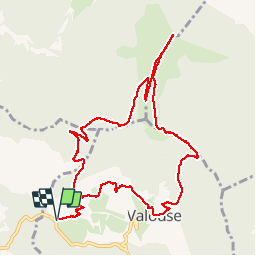

15.2 km | 26 km-effort

User GUIDE


FREE GPS app for hiking
 SityTrail
IGN / Geographical institutes
SityTrail World
The world is yours!
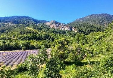
Trail Walking of 11.3 km to be discovered at Auvergne-Rhône-Alpes, Drôme, Valouse. This trail is proposed by thonyc.
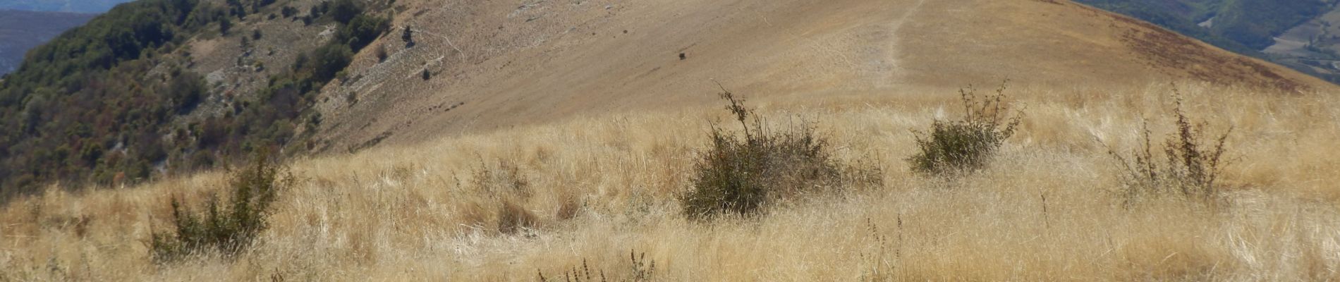
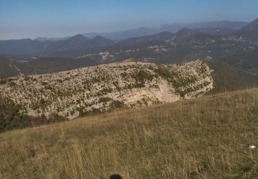
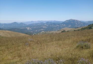
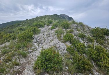
Très belle rando avec des vues aériennes splendides sur les Baronnies
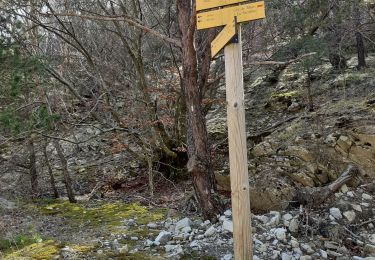
Faire cette rando dans le sens anti-horaire car montée raide dans le bois sur 800m pouvant être glissante dans le sens de la descente.


Walking

Walking
Walking
Walking
Walking
Walking
Walking

Walking

Walking