
le Mont Major

bernardbelmas
User

Length
14.3 km

Max alt
489 m

Uphill gradient
405 m

Km-Effort
19.7 km

Min alt
145 m

Downhill gradient
417 m
Boucle
Yes
Creation date :
2019-09-29 08:09:49.076
Updated on :
2019-09-29 16:15:47.886
5h02
Difficulty : Medium

FREE GPS app for hiking
About
Trail Walking of 14.3 km to be discovered at Occitania, Aude, Saint-Pierre-des-Champs. This trail is proposed by bernardbelmas.
Description
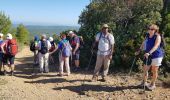
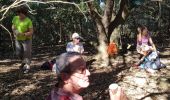
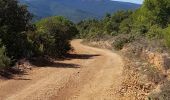
belle randonnée dans un paysage typique des Corbières avec petites vignes isolées, pins et garrigue, Chênes verts, colchiques, sarriette en fleurs, thym sans oublier nombre d'arbousiers
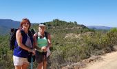
sans oublier la vue
un grand bol d'air au calme garanti
Positioning
Country:
France
Region :
Occitania
Department/Province :
Aude
Municipality :
Saint-Pierre-des-Champs
Location:
Unknown
Start:(Dec)
Start:(UTM)
467778 ; 4767343 (31T) N.
Comments
Trails nearby
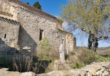
Chemin du facteur + Gourg


Walking
Very easy
Talairan,
Occitania,
Aude,
France

19.6 km | 26 km-effort
4h 25min
No
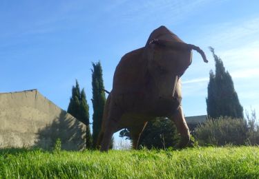
TALAIRAN - Gourg Goutonnier


Walking
Easy
(1)
Talairan,
Occitania,
Aude,
France

8.1 km | 10.4 km-effort
2h 28min
Yes
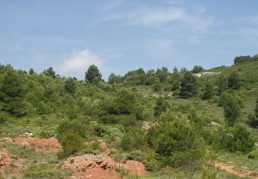
En Corbières - La Roche Trouée - Tournissan


Walking
Medium
Tournissan,
Occitania,
Aude,
France

4.9 km | 6.9 km-effort
2h 0min
Yes
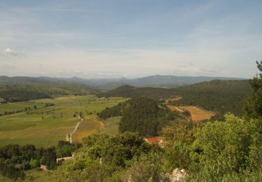
En Corbières - Le Sentier Francis Lastenouse - Tournissan


Walking
Medium
(1)
Tournissan,
Occitania,
Aude,
France

6.8 km | 10.1 km-effort
2h 30min
Yes
Le pied de Charlemagne


Walking
Very easy
Lagrasse,
Occitania,
Aude,
France

6.4 km | 8.9 km-effort
2h 3min
Yes
Lagrasse


Walking
Very difficult
Lagrasse,
Occitania,
Aude,
France

17.5 km | 24 km-effort
4h 36min
Yes
balade centre médiéval de lagrasse


Walking
Easy
Lagrasse,
Occitania,
Aude,
France

2.7 km | 3 km-effort
1h 3min
Yes
Lagrasse - Sainte Carla - forêt


Walking
Difficult
Lagrasse,
Occitania,
Aude,
France

21 km | 29 km-effort
4h 43min
Yes


 SityTrail


