


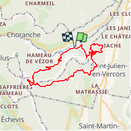

16.5 km | 34 km-effort

User GUIDE


FREE GPS app for hiking
 SityTrail
IGN / Geographical institutes
SityTrail World
The world is yours!
Trail Walking of 18.3 km to be discovered at Auvergne-Rhône-Alpes, Isère, Châtelus. This trail is proposed by nadd73.
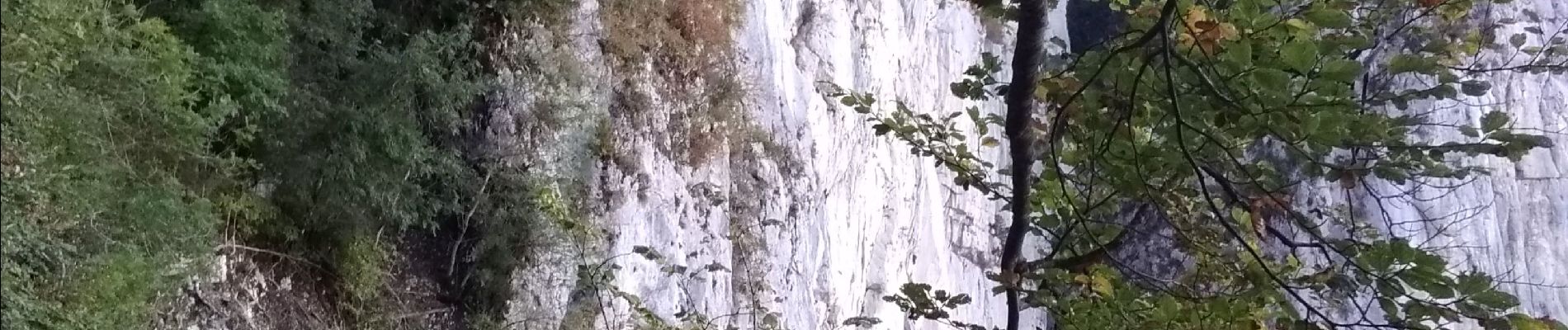
De la centrale éléctrique de Bournillon, monter derrière la centrale, le pas d'Echarasson arriver à la grotte des Gaulois petit pas d'escalade pour entrer à l'intérieur. Ensuite longer plus ou moins la falaise par le pas d'écharasson Porte du diable retour à la grotte. Grande traversée.
Descente par le pas de la charmate très raide et peu marquée.
passages aériens Longe baudrier peuvent être utiles.


Walking

Walking

Walking

Walking

On foot

Walking

Walking
Other activity

Walking