


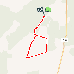

21 km | 23 km-effort

User


FREE GPS app for hiking
 SityTrail
IGN / Geographical institutes
SityTrail World
The world is yours!
Trail Walking of 5.8 km to be discovered at New Aquitaine, Lot-et-Garonne, Allons. This trail is proposed by christiane01.
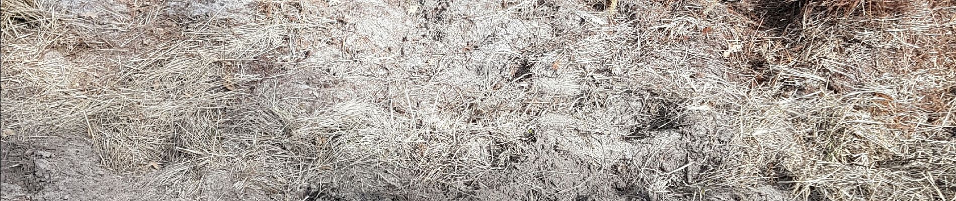
dans les pins

On foot
On foot