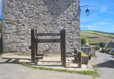
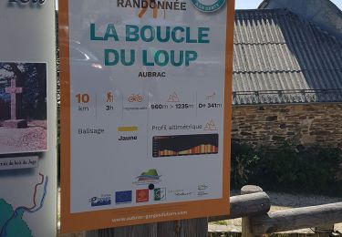
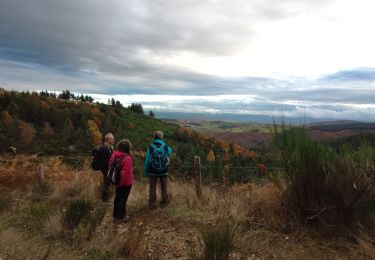
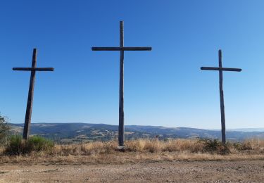
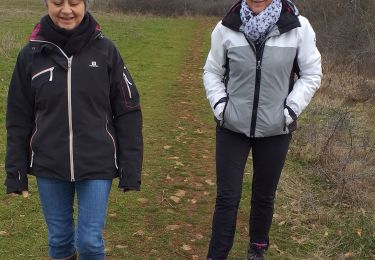
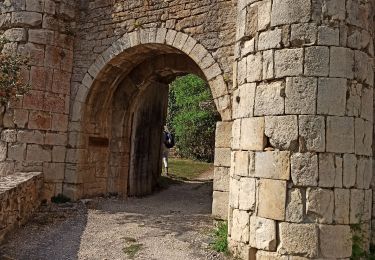
Trail Walking Bourgs sur Colagne -  Parcours le Bruel CP CE - Photo

Parcours le Bruel CP CE

© OpenStreetMap contributors
Length
Length
5.8 km
Max alt
Max alt
917 m
Uphill gradient
Uphill gradient
162 m
Km-Effort
Km-Effort  
7.9 km
Min alt
Min alt
771 m
Downhill gradient
Downhill gradient
161 m
Boucle
Boucle
Yes
Creation date :
2019-09-28 07:38:34.47
Updated on :
2019-09-29 18:18:14.604

(0 Reviews)

Walking
Walking
1h33
Difficulty : Medium

Scan this QR Code to open this trail in the SityTrail application

FREE GPS app for hiking

Logo SityTrail SityTrail

IGN / Geographical institutes

Download SityTrail from the App Store Download SityTrail from Google Play

Logo SityTrail SityTrail World

The world is yours!

Download SityTrail from the App Store Download SityTrail from Google Play Download SityTrail on Huawei AppGallery

About

Trail Walking of 5.8 km to be discovered at Occitania, Lozère, Bourgs sur Colagne. This trail is proposed by colettedeltour.

Elevation profile

Positioning

Country:
France
Region :
Occitania
Department/Province :
Lozère
Municipality :
Bourgs sur Colagne
Location:
Le Monastier-Pin-Moriès
Start:(UTM)
517442 ; 4928770 (31T) N.

Trails nearby

Trail Nordic walking Les Salces - Boucle du Loup depuis les Salces - Photo
Nordic walking
mdauzat

Nordic walking

Easy
(1)
Les Salces, Occitania, Lozère, France
10 km | 14.6 km-effort
Unknown
Yes
Trail Motorbike Marvejols - rando trail 640 pont de monvert  - Photo
Motorbike
Jérôme Pignol

Motorbike

Medium
(1)
Marvejols, Occitania, Lozère, France
202 km | 274 km-effort
6h 15min
Yes
Trail Walking Les Salces - la boucle du loup - Photo
Walking
Bobzebob

Walking

Medium
Les Salces, Occitania, Lozère, France
12 km | 16.8 km-effort
3h 42min
Yes
Trail Other activity Saint-Germain-du-Teil - fête amitié 15 mai - Photo
Other activity
colettedeltour

Other activity

Very easy
(1)
Saint-Germain-du-Teil, Occitania, Lozère, France
7.3 km | 9.7 km-effort
8min
Yes
Trail Walking Bourgs sur Colagne - LES VIOLLES - Photo
Walking
tyntyn

Walking

Medium
Bourgs sur Colagne, Occitania, Lozère, France
8.3 km | 11.9 km-effort
2h 40min
Yes
Trail Walking Saint-Germain-du-Teil - GR60 je La Mothe - Photo
Walking
werth

Walking

Easy
Saint-Germain-du-Teil, Occitania, Lozère, France
10.4 km | 14 km-effort
3h 56min
No
Trail Walking Marvejols - plateau de lacham - Photo
Walking
Jerome Pignol

Walking

Very easy
Marvejols, Occitania, Lozère, France
4.4 km | 5.5 km-effort
1h 12min
Yes
Trail Walking Les Salelles - Chemin de: Le Villard - Photo
Walking
Lecoester

Walking

Very easy
Les Salelles, Occitania, Lozère, France
6.5 km | 7.9 km-effort
1h 48min
Yes
Trail Moto cross Marvejols - essais 690  - Photo
Moto cross
Jérôme Pignol

Moto cross

Very easy
Marvejols, Occitania, Lozère, France
114 km | 150 km-effort
3h 37min
Yes


Close
My subscriptions