


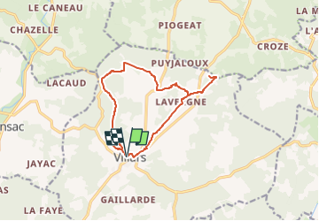

13 km | 16.3 km-effort


User


FREE GPS app for hiking
 SityTrail
IGN / Geographical institutes
SityTrail World
The world is yours!
Trail Walking of 13.6 km to be discovered at New Aquitaine, Dordogne, Villars. This trail is proposed by Zygomat.
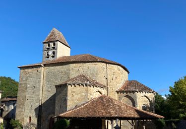
Départ de Villars pour une visite du Chateau de Puyguilhem, ensuite cheminement vers le nord pour retrouver Laschenaud et aller visiter les Grottes de Villars. Retour à Villars. Le parcour emprunte la boucle PDIPR n°4 du guide du canton de Champagnac de Belair sauf à la sortie de Laschenaud où l'on se dirige directement vers Le Cluzeau

Walking
Electric bike

Walking
Walking
Walking

Mountain bike
Walking
Walking
Walking