


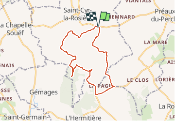

11.3 km | 13.2 km-effort


User


FREE GPS app for hiking
 SityTrail
IGN / Geographical institutes
SityTrail World
The world is yours!
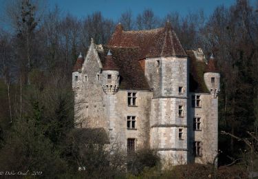
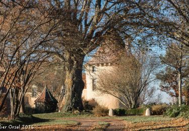
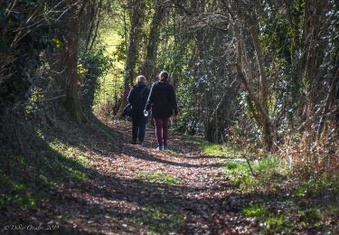
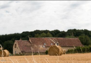
Trail Walking of 13.8 km to be discovered at Normandy, Orne, Saint-Cyr-la-Rosière. This trail is proposed by togolo28.
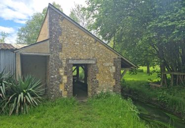
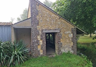
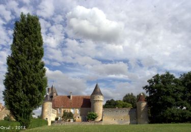
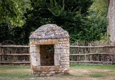
De très beaux manoirs et demeures à admirer au cours de cette randonnée.
A l'arrivée, vous pouvez en profiter pour visiter l'Eco Musée du Perche.
Walking

Walking
Walking
Walking
Walking
Walking
Walking
Walking
Walking