


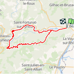

13.9 km | 22 km-effort


User


FREE GPS app for hiking
 SityTrail
IGN / Geographical institutes
SityTrail World
The world is yours!
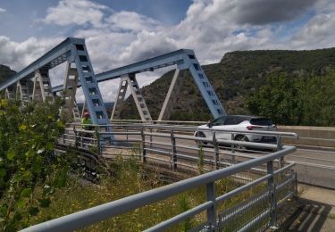
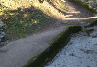
Trail Electric bike of 36 km to be discovered at Auvergne-Rhône-Alpes, Ardèche, Saint-Laurent-du-Pape. This trail is proposed by chevallier.
Circuit via douce La Voulte Les Ollières retoutretour par St Cierge avec évitement de la départementale entre les Ollières et Privas ainsi que de la traversée du La Voulte.
Walking
Walking
Walking
Road bike
Walking

Walking
Walking
Walking
Walking