


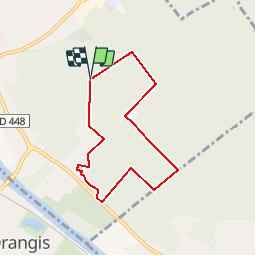

14.8 km | 17 km-effort


User


FREE GPS app for hiking
 SityTrail
IGN / Geographical institutes
SityTrail World
The world is yours!
Trail On foot of 6.1 km to be discovered at Ile-de-France, Essonne, Draveil. This trail is proposed by Surot.
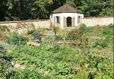
Boucle facile de6 km en forêt de Sénart pour rando douce, passant par le château de Champrosay où est cultivé en saison favorable un joli potager partagé. Pas de dénivelé ou très peu

Walking

Walking

Walking
Walking

Walking

Walking

Walking

Walking

Walking