13.8 km | 17 km-effort
La Tracé amanvilloise
PhilippeC54
User
Length
55 km
Max alt
377 m
Uphill gradient
1061 m
Km-Effort
69 km
Min alt
213 m
Downhill gradient
1061 m
Boucle
Yes
Creation date :
2019-09-22 06:05:37.741
Updated on :
2019-09-22 10:38:54.801
4h31
Difficulty : Very easy
FREE GPS app for hiking
About
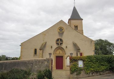
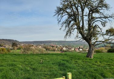
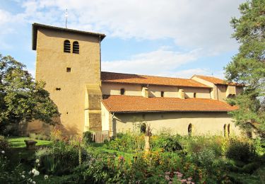
Trail Mountain bike of 55 km to be discovered at Grand Est, Moselle, Amanvillers. This trail is proposed by PhilippeC54.
Positioning
Country:
France
Region :
Grand Est
Department/Province :
Moselle
Municipality :
Amanvillers
Location:
Unknown
Start:(Dec)
Start:(UTM)
284546 ; 5450282 (32U) N.
Comments
Trails nearby
Châtel-Saint-Germain
Walking
Medium
(1)
Châtel-Saint-Germain,
Grand Est,
Moselle,
France
3h 39min
Yes
Circuit de Plappeville
On foot
Easy
Lessy,
Grand Est,
Moselle,
France
8.5 km | 11.2 km-effort
2h 32min
Yes
Saulny 8 mai 2013 14 km
Walking
Very easy
(1)
Saulny,
Grand Est,
Moselle,
France
14.8 km | 20 km-effort
3h 24min
Yes
pic agnel
Walking
Very easy
Norroy-le-Veneur,
Grand Est,
Moselle,
France
531 km | 1073 km-effort
5h 1min
No
Circuit du Parc de la Gentière
On foot
Easy
Saulny,
Grand Est,
Moselle,
France
8.7 km | 11.3 km-effort
2h 33min
No
Circuit du Fort de Lorraine
On foot
Easy
Saulny,
Grand Est,
Moselle,
France
11.4 km | 15.4 km-effort
3h 29min
Yes
Circuit de la Croix David
On foot
Easy
Marange-Silvange,
Grand Est,
Moselle,
France
3.8 km | 5.3 km-effort
1h 12min
No
Saulny Circuit Saint-Maurice
On foot
Easy
Saulny,
Grand Est,
Moselle,
France
7.6 km | 10 km-effort
2h 16min
Yes