


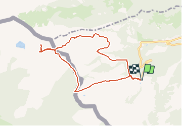

5.1 km | 11.9 km-effort


User


FREE GPS app for hiking
 SityTrail
IGN / Geographical institutes
SityTrail World
The world is yours!
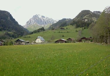
Trail Walking of 8.3 km to be discovered at Valais/Wallis, Monthey, Vionnaz. This trail is proposed by duamerg.
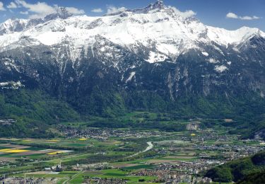
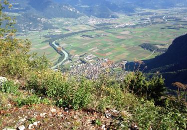
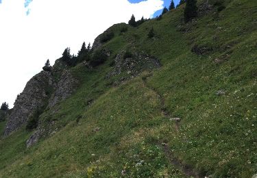
Départ depuis les remontées mécaniques de Torgon. Tranquille montée au col de Recon. Le plus dur est fait. Le col de Conche est atteint en un saut de puce, puis vient le col d'Outanne et finalement le col de Guernes d'où l'on a une vue sur le lac d?Arvouin 300m. plus bas. Commencer la montée vers le sommet de Linleu juste pour la vue qui va des montagnes bernoises au Mont Blanc. Choisissez un jour clair, la vue est splendide.

Walking

On foot
On foot
On foot

Snowshoes
Walking
Other activity
Walking
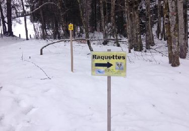
Snowshoes