


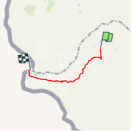

12.7 km | 22 km-effort


User


FREE GPS app for hiking
 SityTrail
IGN / Geographical institutes
SityTrail World
The world is yours!
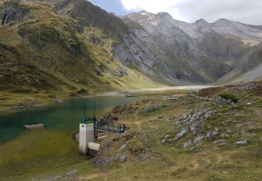
Trail Walking of 4 km to be discovered at Occitania, Hautespyrenees, Gavarnie-Gèdre. This trail is proposed by pffrench.
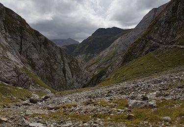
Alpinisme plutôt que marche; glacier, crampons, encordage. Tracé inexact entre le refuge et le début du glacier, mais aussi vers le Vignemale.

Walking
Walking
Walking

On foot

On foot
Walking

Walking
Walking
Walking