


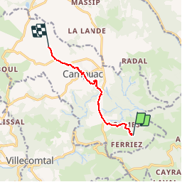

22 km | 32 km-effort


User


FREE GPS app for hiking
 SityTrail
IGN / Geographical institutes
SityTrail World
The world is yours!
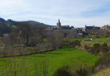
Trail Walking of 7.3 km to be discovered at Occitania, Aveyron, Campuac. This trail is proposed by Eric_Alu.
Walking

Equestrian
Walking
On foot
On foot
Cycle
Equestrian
Electric bike