


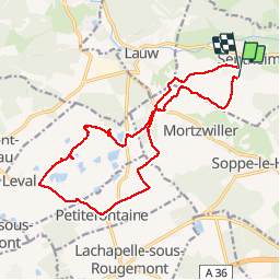

19.9 km | 34 km-effort

User


FREE GPS app for hiking
 SityTrail
IGN / Geographical institutes
SityTrail World
The world is yours!
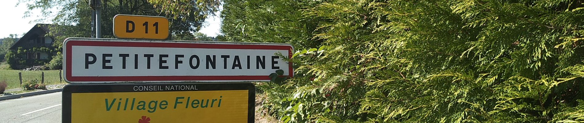
Trail Walking of 16.8 km to be discovered at Grand Est, Haut-Rhin, Sentheim. This trail is proposed by helmut68.
Forêts, étangs et lac durant cette boucle . Pas beaucoup de dénivelé , chemins et sentiers balisés ( essentiellement cercle rouge pour ce parcours ) distance de marche correct...


Walking

Walking

Walking

On foot

On foot

Walking

Walking

Walking
