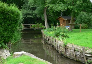
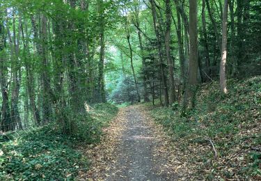
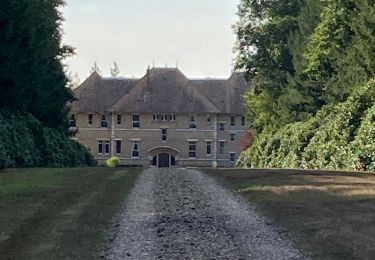
22 km | 28 km-effort
Tourneville
thle
User
Length
17.1 km
Max alt
149 m
Uphill gradient
290 m
Km-Effort
21 km
Min alt
39 m
Downhill gradient
290 m
Boucle
Yes
Creation date :
2019-09-14 13:42:36.229
Updated on :
2019-09-14 14:16:32.211
--
Difficulty : Very easy
FREE GPS app for hiking
About
Trail Equestrian of 17.1 km to be discovered at Normandy, Eure, Sacquenville. This trail is proposed by thle.
Positioning
Country:
France
Region :
Normandy
Department/Province :
Eure
Municipality :
Sacquenville
Location:
Unknown
Start:(Dec)
Start:(UTM)
359837 ; 5439554 (31U) N.
Comments
Trails nearby
autrebocs
Walking
Very easy
(1)
Tourneville,
Normandy,
Eure,
France
11.7 km | 14.7 km-effort
3h 26min
No
Autrebosc Brosville
Walking
Very easy
(1)
Sacquenville,
Normandy,
Eure,
France
9.1 km | 11.4 km-effort
1h 30min
No
Autour de Brosville
Mountain bike
Difficult
Brosville,
Normandy,
Eure,
France
32 km | 39 km-effort
3h 0min
Yes
Vallée de l’Iton 1
Walking
Medium
Tourneville,
Normandy,
Eure,
France
10.8 km | 14.6 km-effort
3h 3min
Yes
BROSVILLE 2 RACCORCI
Walking
Difficult
Brosville,
Normandy,
Eure,
France
13.3 km | 16.4 km-effort
3h 43min
Yes
BROSVILLE
Walking
Very difficult
Brosville,
Normandy,
Eure,
France
14.9 km | 19.2 km-effort
4h 21min
Yes
Houetteville
Walking
Medium
Houetteville,
Normandy,
Eure,
France
10.5 km | 13.8 km-effort
2h 54min
No
Aviron plateau Hondouville vallée d’Eure côte de Garambouvill
Road bike
Aviron,
Normandy,
Eure,
France
74 km | 83 km-effort
5h 10min
Yes