Trail Walking Saint-Raphaël - Le Rastel d’Agay - Photo
© OpenStreetMap contributors
Length
Length
8.6 km
Max alt
Max alt
259 m
Uphill gradient
Uphill gradient
269 m
Km-Effort
Km-Effort  
12.1 km
Min alt
Min alt
0 m
Downhill gradient
Downhill gradient
266 m
Boucle
Boucle
Yes
Creation date :
2019-09-13 10:44:16.0
Updated on :
2019-09-23 15:13:55.854

(0 Reviews)

Walking
Walking
3h02
Difficulty : Very difficult

Scan this QR Code to open this trail in the SityTrail application

FREE GPS app for hiking

Logo SityTrail SityTrail
IGN / Geographical institutes

Download SityTrail from the App Store Download SityTrail from Google Play

Logo SityTrail SityTrail World
The world is yours!

Download SityTrail from the App Store Download SityTrail from Google Play Download SityTrail on Huawei AppGallery

About

Trail Walking of 8.6 km to be discovered at Provence-Alpes-Côte d'Azur, Var, Saint-Raphaël. This trail is proposed by henriantoine.

Description

Aller retour 9 km
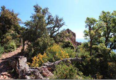
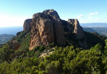
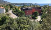
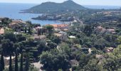
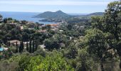
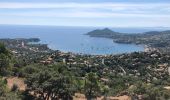
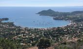
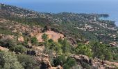
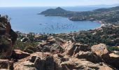
Une randonnée facile jusqu’à la table d’orientation, qui vous mènera à un panorama superbe sur la baie d’Agay et de Saint Raphaël, ainsi qu'une belle vue sur l’Estérel.
Départ parking Togo à Agay
Suivre l’avenue de Gratadis sur 100m environ ; prendre l’escalier à droite(domaine du Rastel)
A la route prendre l’escalier en face raide ou l’avenue du Rastel à droite)
Laisser à gauche la « piste du Drapeau » et poursuivre l’avenue
Poursuivre l’avenue du Rastel ; prendre à gauche le deuxième accès à la « piste du Drapeau »
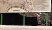
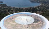
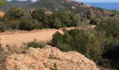
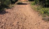
A la citerne enterrée laisser à droite le chemin qui descend fortement et poursuivre la piste jusqu’à la table d’orientation
Arriver à la table d’orientation ; on aperçoit le drapeau (girouette métallique colorée bleu-blanc-rouge
Poursuivre sur le sentier jusqu’au Drapeau
Retour par le même itinéraire
Attention à la vingtaine de marches d’escalier entre la table d’orientation et le Drapeau.
Les   de ce parcours
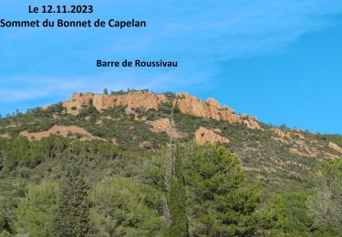
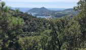
- Vue sur la baie d’Agay, de Saint Raphaël et plus loin encore
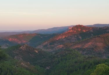
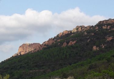
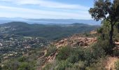
- Vue sur l’Estérel, le Pic de Cap Roux et le Pic de l’Ours
- Vue sur la maison forestière de Gratadis et de ses environs

Elevation profile

Photos

Positioning

Country:
France
Region :
Provence-Alpes-Côte d'Azur
Department/Province :
Var
Municipality :
Saint-Raphaël
Location:
Unknown
Start:(UTM)
326784 ; 4811208 (32T) N.

Trails nearby

Trail Walking Saint-Raphaël - Massif d'ésterel-grande boucle pic cap roux - Photo
Walking
jeromelacoste

Walking

Medium
(2)
Saint-Raphaël, Provence-Alpes-Côte d'Azur, Var, France
10.4 km | 17.5 km-effort
2h 58min
Yes
Trail Walking Saint-Raphaël - Les lacs par les rochers du Caneiret - Photo
Walking
ETMU5496

Walking

Medium
(1)
Saint-Raphaël, Provence-Alpes-Côte d'Azur, Var, France
20 km | 29 km-effort
5h 7min
Yes
Trail Walking Saint-Raphaël - Le tour du Pic du Cap Roux - St Raphaël (Agay) - Photo
Walking
tracegps

Walking

Medium
(2)
Saint-Raphaël, Provence-Alpes-Côte d'Azur, Var, France
7.2 km | 12.8 km-effort
2h 0min
Yes
Trail Walking Saint-Raphaël - Pic du Cap Roux - Photo
Walking
Kilroy06

Walking

Very easy
(4)
Saint-Raphaël, Provence-Alpes-Côte d'Azur, Var, France
4.1 km | 7.8 km-effort
1h 17min
Yes
Trail Walking Saint-Raphaël - Agay - Sainte-Barbe - Étang des Nénuphares - Photo
Walking
E.BURCK

Walking

Easy
(2)
Saint-Raphaël, Provence-Alpes-Côte d'Azur, Var, France
5 km | 6.2 km-effort
2h 8min
Yes
Trail Walking Saint-Raphaël - Esterel Trace réelle - Photo
Walking
GUIDE
jouans

Walking

Very difficult
Saint-Raphaël, Provence-Alpes-Côte d'Azur, Var, France
21 km | 32 km-effort
7h 11min
Yes
Trail Walking Saint-Raphaël - Pic du Cap Roux 1.10.22 - Photo
Walking
GUIDE
fredetpascale

Walking

Easy
Saint-Raphaël, Provence-Alpes-Côte d'Azur, Var, France
8.3 km | 0 m-effort
3h 20min
Yes
Trail Mountain bike Saint-Raphaël - activity_9094673788 - Photo
Mountain bike
GUIDE
pascalou73

Mountain bike

Medium
Saint-Raphaël, Provence-Alpes-Côte d'Azur, Var, France
19.6 km | 25 km-effort
1h 42min
Yes
Trail Mountain bike Saint-Raphaël - activity_9094242808 - Photo
Mountain bike
GUIDE
pascalou73

Mountain bike

Medium
Saint-Raphaël, Provence-Alpes-Côte d'Azur, Var, France
22 km | 29 km-effort
1h 59min
Yes


Close
My subscriptions