


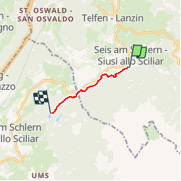

3.4 km | 5.7 km-effort


User


FREE GPS app for hiking
 SityTrail
IGN / Geographical institutes
SityTrail World
The world is yours!
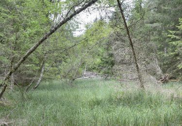
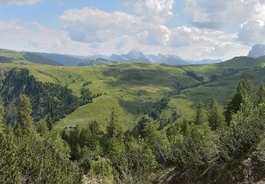
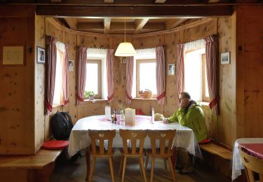
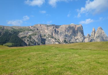
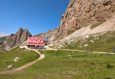
Trail Running of 4.2 km to be discovered at Trentino-Alto Adige/Südtirol, South Tyrol, Kastelruth - Castelrotto. This trail is proposed by rr0byn.
On foot
On foot
On foot
On foot
On foot
On foot

On foot
Walking
Walking