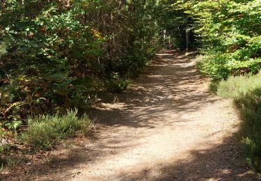
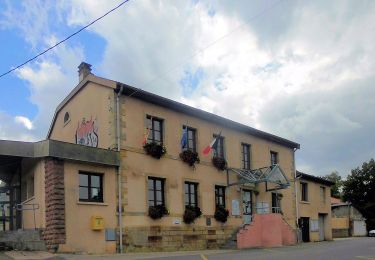
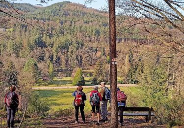
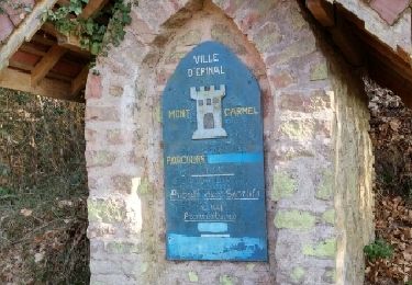
9.3 km | 10.7 km-effort
Epinal
pierreand
User
Length
9.6 km
Max alt
476 m
Uphill gradient
252 m
Km-Effort
13 km
Min alt
361 m
Downhill gradient
254 m
Boucle
Yes
Creation date :
2019-09-10 11:53:54.555
Updated on :
2019-09-10 16:49:27.864
2h52
Difficulty : Very easy
FREE GPS app for hiking
About
Trail Walking of 9.6 km to be discovered at Grand Est, Vosges, Épinal. This trail is proposed by pierreand.
Description
les papeliers
Positioning
Country:
France
Region :
Grand Est
Department/Province :
Vosges
Municipality :
Épinal
Location:
Unknown
Start:(Dec)
Start:(UTM)
314781 ; 5336460 (32U) N.
Comments
Trails nearby
Forêt de Deyvillers
Walking
Easy
Deyvillers,
Grand Est,
Vosges,
France
8.9 km | 10.8 km-effort
2h 0min
Yes
Circuit de la Feinge Orientale
On foot
Easy
Deyvillers,
Grand Est,
Vosges,
France
8.3 km | 10.3 km-effort
2h 20min
Yes
Circuit des Tuileries
On foot
Easy
Deyvillers,
Grand Est,
Vosges,
France
15.1 km | 18.6 km-effort
4h 13min
No
uzefaing 2 la grenouille
On foot
Medium
Épinal,
Grand Est,
Vosges,
France
18.1 km | 23 km-effort
5h 17min
Yes
epinal florémont bouxières
Road bike
Medium
(1)
Épinal,
Grand Est,
Vosges,
France
93 km | 110 km-effort
6h 26min
Yes
haut jarmenil 2
Walking
Medium
(1)
Jarménil,
Grand Est,
Vosges,
France
12.3 km | 16.8 km-effort
2h 39min
Yes