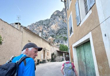
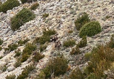
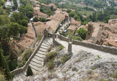
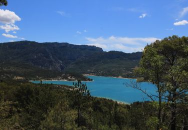
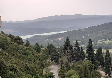
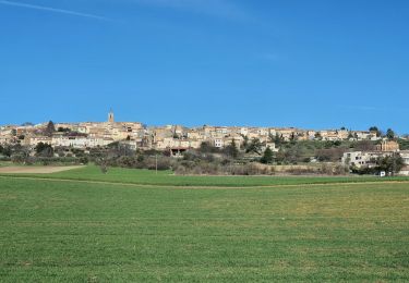
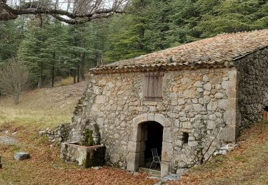
Trail Car Roumoules - moustier - Photo
 bc7380
bc7380

User

© OpenStreetMap contributors
Length
Length
6.2 km
Max alt
Max alt
730 m
Uphill gradient
Uphill gradient
67 m
Km-Effort
Km-Effort  
7.4 km
Min alt
Min alt
566 m
Downhill gradient
Downhill gradient
159 m
Boucle
Boucle
No
Creation date :
2019-09-10 07:26:02.43
Updated on :
2019-09-10 13:33:00.941

(0 Reviews)

Car
Car
8m
Difficulty : Very easy

Scan this QR Code to open this trail in the SityTrail application

FREE GPS app for hiking

Logo SityTrail SityTrail

IGN / Geographical institutes

Download SityTrail from the App Store Download SityTrail from Google Play

Logo SityTrail SityTrail World

The world is yours!

Download SityTrail from the App Store Download SityTrail from Google Play Download SityTrail on Huawei AppGallery

About

Trail Car of 6.2 km to be discovered at Provence-Alpes-Côte d'Azur, Alpes-de-Haute-Provence, Roumoules. This trail is proposed by bc7380.

Elevation profile

Positioning

Country:
France
Region :
Provence-Alpes-Côte d'Azur
Department/Province :
Alpes-de-Haute-Provence
Municipality :
Roumoules
Location:
Unknown
Start:(UTM)
272368 ; 4858920 (32T) N.

Trails nearby

Trail Walking Moustiers-Sainte-Marie - Tour des Gorges du Verdon - Photo
Walking
Alfredy

Walking

Difficult
(5)
Moustiers-Sainte-Marie, Provence-Alpes-Côte d'Azur, Alpes-de-Haute-Provence, France
89 km | 126 km-effort
Unknown
Yes
Trail Walking Moustiers-Sainte-Marie - Moustier Ravin Notre Dame crête de l’Ourbes 14,5 km - Photo
Walking
GUIDE
rvapeldo

Walking

Difficult
Moustiers-Sainte-Marie, Provence-Alpes-Côte d'Azur, Alpes-de-Haute-Provence, France
14.6 km | 26 km-effort
6h 43min
No
Trail Walking Moustiers-Sainte-Marie - Moustier saine Marie 11,4 km - Photo
Walking
GUIDE
rvapeldo

Walking

Medium
Moustiers-Sainte-Marie, Provence-Alpes-Côte d'Azur, Alpes-de-Haute-Provence, France
11.4 km | 17.7 km-effort
4h 16min
Yes
Trail Walking Moustiers-Sainte-Marie - Autour de Moustiers st Marie - Photo
Walking
GUIDE
pascalou73

Walking

Medium
Moustiers-Sainte-Marie, Provence-Alpes-Côte d'Azur, Alpes-de-Haute-Provence, France
13.7 km | 18.8 km-effort
4h 0min
Yes
Trail Walking Moustiers-Sainte-Marie - moustiers ste Marie - Photo
Walking
RoMo

Walking

Medium
Moustiers-Sainte-Marie, Provence-Alpes-Côte d'Azur, Alpes-de-Haute-Provence, France
4.4 km | 7.8 km-effort
1h 20min
Yes
Trail Walking Puimoisson - 2024-03-12 Puimoisson Aventure - Photo
Walking
GUIDE
Kargil

Walking

Difficult
Puimoisson, Provence-Alpes-Côte d'Azur, Alpes-de-Haute-Provence, France
19.3 km | 25 km-effort
5h 35min
Yes
Trail Walking Moustiers-Sainte-Marie - moustier mont deniers 18k 100m - Photo
Walking
GUIDE
Danielba

Walking

Very difficult
Moustiers-Sainte-Marie, Provence-Alpes-Côte d'Azur, Alpes-de-Haute-Provence, France
17.5 km | 30 km-effort
7h 53min
No
Trail 4x4 Puimoisson - taf en Maverick  - Photo
4x4
Davidphoto

4x4

Easy
(1)
Puimoisson, Provence-Alpes-Côte d'Azur, Alpes-de-Haute-Provence, France
51 km | 63 km-effort
1h 32min
No
Trail Walking Moustiers-Sainte-Marie - Moustiers Castillon 13,1 km - Photo
Walking
GUIDE
rvapeldo

Walking

Medium
Moustiers-Sainte-Marie, Provence-Alpes-Côte d'Azur, Alpes-de-Haute-Provence, France
13.1 km | 20 km-effort
5h 31min
Yes


Close
My subscriptions