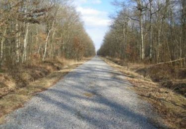
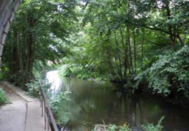
4.4 km | 4.6 km-effort
Bourth
Elisabeth Neveu
User
Length
3.7 km
Max alt
195 m
Uphill gradient
23 m
Km-Effort
4 km
Min alt
181 m
Downhill gradient
23 m
Boucle
Yes
Creation date :
2019-09-08 13:58:49.691
Updated on :
2019-09-08 15:18:48.397
1h18
Difficulty : Very easy
FREE GPS app for hiking
About
Trail Walking of 3.7 km to be discovered at Normandy, Eure, Verneuil d'Avre et d'Iton. This trail is proposed by Elisabeth Neveu.
Positioning
Country:
France
Region :
Normandy
Department/Province :
Eure
Municipality :
Verneuil d'Avre et d'Iton
Location:
Unknown
Start:(Dec)
Start:(UTM)
339811 ; 5405700 (31U) N.
Comments
Trails nearby
Circuit de Malicorne - Francheville
Walking
Easy
Verneuil d'Avre et d'Iton,
Normandy,
Eure,
France
1h 4min
Yes
La Voie Romaine - Francheville
Walking
Difficult
Verneuil d'Avre et d'Iton,
Normandy,
Eure,
France
16.1 km | 17.3 km-effort
4h 0min
Yes
Circuit du Pré Saulé - Bourth
Walking
Easy
Bourth,
Normandy,
Eure,
France
5.5 km | 6.2 km-effort
1h 19min
Yes
Francheville Iton Voie Romaine 16.4 Km
Walking
Easy
Verneuil d'Avre et d'Iton,
Normandy,
Eure,
France
16.4 km | 17.8 km-effort
3h 54min
Yes
Bourth Circuit Pré Saul 5.5 Km
Walking
Easy
Bourth,
Normandy,
Eure,
France
5.5 km | 6.2 km-effort
1h 21min
Yes
chaise dieu du theil 27 mars
Walking
Easy
Chaise-Dieu-du-Theil,
Normandy,
Eure,
France
8.5 km | 9.6 km-effort
2h 8min
Yes
Laguéroulde
Mountain bike
Difficult
Breteuil,
Normandy,
Eure,
France
63 km | 69 km-effort
3h 30min
Yes
Chaise Dieu du Theil
Walking
Easy
Chaise-Dieu-du-Theil,
Normandy,
Eure,
France
8.5 km | 9.3 km-effort
2h 7min
Yes