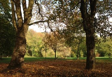
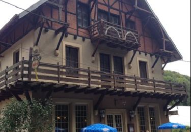
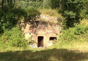
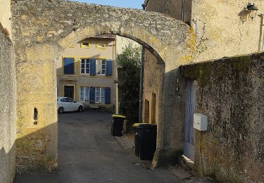
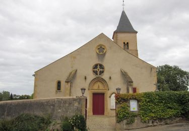
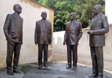
6.9 km | 9.2 km-effort
jussy
guytounet
User
Length
4.1 km
Max alt
235 m
Uphill gradient
71 m
Km-Effort
5 km
Min alt
184 m
Downhill gradient
73 m
Boucle
Yes
Creation date :
2019-09-08 13:46:25.987
Updated on :
2019-09-08 15:13:09.874
1h26
Difficulty : Very easy
FREE GPS app for hiking
About
Trail Walking of 4.1 km to be discovered at Grand Est, Moselle, Rozérieulles. This trail is proposed by guytounet.
Description
top merci
Positioning
Country:
France
Region :
Grand Est
Department/Province :
Moselle
Municipality :
Rozérieulles
Location:
Unknown
Start:(Dec)
Start:(UTM)
287495 ; 5443671 (32U) N.
Comments
Trails nearby
Châtel-Saint-Germain
Walking
Medium
(1)
Châtel-Saint-Germain,
Grand Est,
Moselle,
France
13.8 km | 17 km-effort
3h 39min
Yes
Autour du fort de Plappeville.
Walking
Easy
(1)
Plappeville,
Grand Est,
Moselle,
France
8.9 km | 11 km-effort
2h 55min
Yes
Circuit de la Vallée de la Mance
On foot
Easy
Vaux,
Grand Est,
Moselle,
France
12 km | 16 km-effort
3h 37min
Yes
Circuit de Plappeville
On foot
Easy
Lessy,
Grand Est,
Moselle,
France
8.5 km | 11.2 km-effort
2h 32min
Yes
Circuit Robert Schuman
On foot
Easy
Scy-Chazelles,
Grand Est,
Moselle,
France
3.5 km | 5 km-effort
1h 7min
No
Circuit du Tour du Mont St Quentin
On foot
Easy
Scy-Chazelles,
Grand Est,
Moselle,
France
4.9 km | 6.7 km-effort
1h 31min
No
Circuit des Crapauds 2011 - Rozérieulles
Mountain bike
Difficult
(2)
Rozérieulles,
Grand Est,
Moselle,
France
12.4 km | 16.7 km-effort
1h 0min
Yes
Circuit de la Ferme Saint-Georges
On foot
Easy
Châtel-Saint-Germain,
Grand Est,
Moselle,
France
3.8 km | 5.5 km-effort
1h 14min
No