


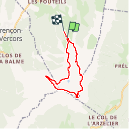

7.7 km | 13.8 km-effort


User GUIDE


FREE GPS app for hiking
 SityTrail
IGN / Geographical institutes
SityTrail World
The world is yours!
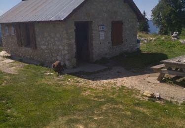
Trail Walking of 11.8 km to be discovered at Auvergne-Rhône-Alpes, Isère, Villard-de-Lans. This trail is proposed by nadd73.
Villard de lans télécabine jusque 1750.
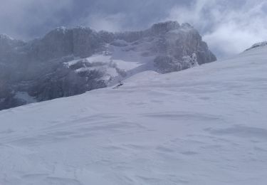
suivre la piste monter l'arete. piolet et bonne chaussures. aérien


Walking
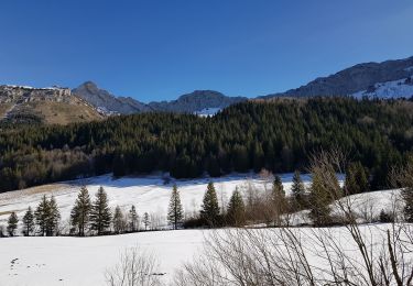
Walking
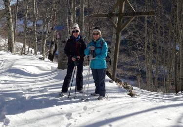
Walking

Mountain bike

Walking

Walking
Walking
Walking
Touring skiing