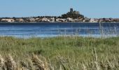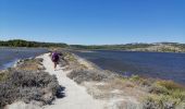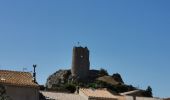

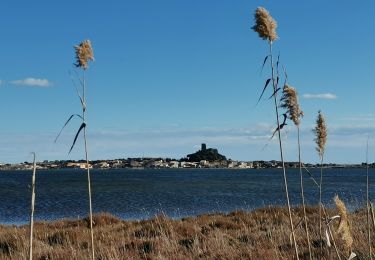
GRUISSAN ... tour de l'étang.

GerardBouche
User

Length
6.1 km

Max alt
10 m

Uphill gradient
28 m

Km-Effort
6.5 km

Min alt
-3 m

Downhill gradient
31 m
Boucle
No
Creation date :
2019-09-06 12:23:59.462
Updated on :
2019-09-17 06:56:12.498
2h05
Difficulty : Very easy

FREE GPS app for hiking
About
Trail Walking of 6.1 km to be discovered at Occitania, Aude, Gruissan. This trail is proposed by GerardBouche.
Description
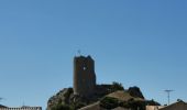
Très belle randonnée par un petit sentier longeant l'étang (le flamant rose peut y être observé) avec vue sur la Tour Baberousse.
Rando écourtée ... le massif de la Clape étant interdit de circulation suite à une période de sécheresse !
Positioning
Country:
France
Region :
Occitania
Department/Province :
Aude
Municipality :
Gruissan
Location:
Unknown
Start:(Dec)
Start:(UTM)
507153 ; 4772818 (31T) N.
Comments
Trails nearby
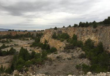
La Clape - Trou de la Crouzade


Walking
Difficult
(1)
Narbonne,
Occitania,
Aude,
France

15.5 km | 21 km-effort
4h 30min
Yes
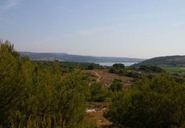
Ile St Martin près de Gruissan


Walking
Easy
(1)
Gruissan,
Occitania,
Aude,
France

8.3 km | 10 km-effort
2h 40min
Yes
Espace VTT FFC Clape de Gruissan - Circuit n°6 - La Montée des plateaux


Mountain bike
Very difficult
(2)
Gruissan,
Occitania,
Aude,
France

31 km | 38 km-effort
2h 40min
Yes
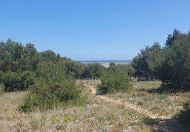
gruissan port a l'île st Martin


Walking
Difficult
(1)
Gruissan,
Occitania,
Aude,
France

21 km | 24 km-effort
5h 10min
Yes
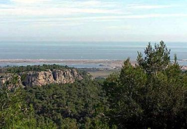
La Clape - Gruissan


Walking
Difficult
(4)
Gruissan,
Occitania,
Aude,
France

13.9 km | 18.9 km-effort
4h 30min
No
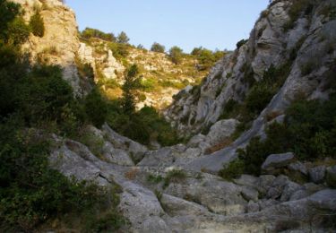
Combe de Lavit


Walking
Medium
(2)
Gruissan,
Occitania,
Aude,
France

6.2 km | 8 km-effort
3h 0min
Yes
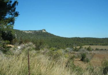
Espace VTT FFC Clape de Gruissan - Circuit n°5 - Les Garrigues


Mountain bike
Difficult
(1)
Gruissan,
Occitania,
Aude,
France

23 km | 27 km-effort
1h 30min
Yes

Le plan Vigné


Walking
Medium
(1)
Gruissan,
Occitania,
Aude,
France

3.6 km | 5.7 km-effort
1h 17min
Yes
Gruissan Les goules La capoulade


Walking
Very easy
Gruissan,
Occitania,
Aude,
France

16.9 km | 20 km-effort
4h 7min
Yes


 SityTrail


