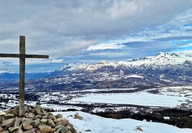
15.4 km | 26 km-effort
Ancelle les vallons à peu près !
Famille Foissac
User
Length
10.8 km
Max alt
1697 m
Uphill gradient
456 m
Km-Effort
16.9 km
Min alt
1305 m
Downhill gradient
455 m
Boucle
Yes
Creation date :
2019-09-05 16:03:59.604
Updated on :
2019-09-05 17:34:12.801
1h29
Difficulty : Very easy
FREE GPS app for hiking
About
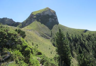
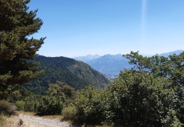
Trail Mountain bike of 10.8 km to be discovered at Provence-Alpes-Côte d'Azur, Hautes-Alpes, Ancelle. This trail is proposed by Famille Foissac.
Positioning
Country:
France
Region :
Provence-Alpes-Côte d'Azur
Department/Province :
Hautes-Alpes
Municipality :
Ancelle
Location:
Unknown
Start:(Dec)
Start:(UTM)
277699 ; 4944427 (32T) N.
Comments
Trails nearby
Ancelle-Tour du Cuchon
Running
Very easy
(2)
Ancelle,
Provence-Alpes-Côte d'Azur,
Hautes-Alpes,
France
3h 15min
Yes
Croix Saint Philippe Via Ancelle
Walking
Medium
(1)
Ancelle,
Provence-Alpes-Côte d'Azur,
Hautes-Alpes,
France
9.7 km | 16.2 km-effort
4h 30min
Yes
L'arche et L'aiguille 01/09/23
Walking
Very difficult
Ancelle,
Provence-Alpes-Côte d'Azur,
Hautes-Alpes,
France
8.6 km | 19.6 km-effort
4h 27min
Yes
Piolit
Walking
Difficult
Ancelle,
Provence-Alpes-Côte d'Azur,
Hautes-Alpes,
France
8.9 km | 19.4 km-effort
4h 24min
Yes
Cuchon-Petite Autane
Walking
Very difficult
Ancelle,
Provence-Alpes-Côte d'Azur,
Hautes-Alpes,
France
16 km | 30 km-effort
7h 0min
Yes
Arche
Walking
Medium
Ancelle,
Provence-Alpes-Côte d'Azur,
Hautes-Alpes,
France
6.9 km | 16 km-effort
3h 37min
No
Tour de Pourrachière
Snowshoes
Difficult
(1)
Ancelle,
Provence-Alpes-Côte d'Azur,
Hautes-Alpes,
France
14.9 km | 26 km-effort
6h 0min
No
toufde la Pinouse : pré bouria . Le rouanne . la pinouse . moissiere . pré bo...
Walking
Medium
Ancelle,
Provence-Alpes-Côte d'Azur,
Hautes-Alpes,
France
8.4 km | 13.3 km-effort
3h 41min
Yes
crêtes d´Auréous : col de la Moissière . Chatégré . St Philippe . lac de Faudon
Walking
Easy
Ancelle,
Provence-Alpes-Côte d'Azur,
Hautes-Alpes,
France
6.9 km | 9.8 km-effort
2h 39min
Yes