


18.5 km | 37 km-effort

User


FREE GPS app for hiking
 SityTrail
IGN / Geographical institutes
SityTrail World
The world is yours!
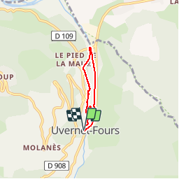
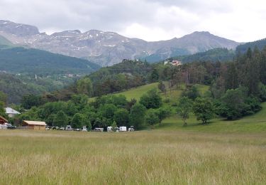
Trail Walking of 4.2 km to be discovered at Provence-Alpes-Côte d'Azur, Alpes-de-Haute-Provence, Uvernet-Fours. This trail is proposed by Coqorico.
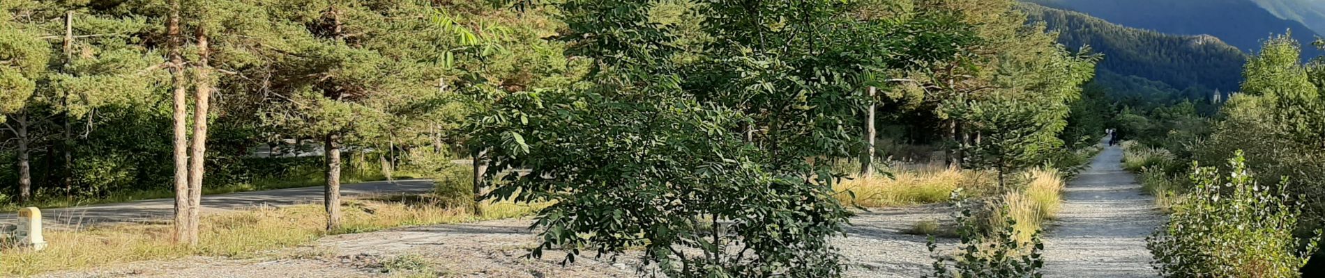
Au départ d'Uvernet-Fours, la boucle du Bachelard permet de découvrir un moulin en ruine, la zone humide ainsi que de jolis points de vue au cours d'une randonnée facile malgré quelques bouts de pente raide.


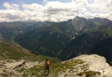
Walking

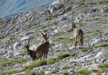
Walking
Walking
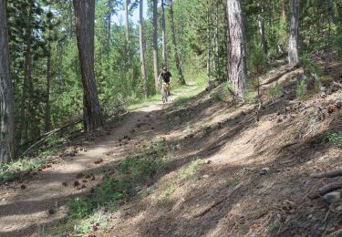
Mountain bike
Walking

Walking

Walking
Walking
Walking
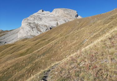
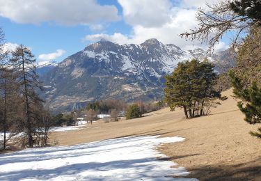
super petite ballade avec de jolies points de vue et une partie de l'histoire de la vallée
Une petite randonnée agréable au bord du Bachelard, à faire en famille en à peine une heure.