


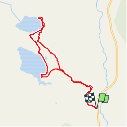

14.4 km | 20 km-effort


User


FREE GPS app for hiking
 SityTrail
IGN / Geographical institutes
SityTrail World
The world is yours!
Trail Walking of 9.2 km to be discovered at Wyoming, Teton County. This trail is proposed by GOHIER.
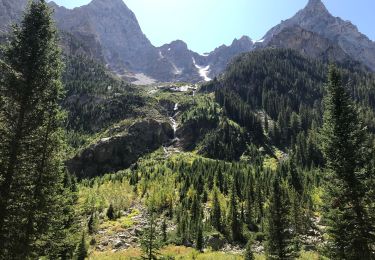
3 beaux lacs, des canards et presque un(e) ours(e)!

Walking

Walking
Walking