


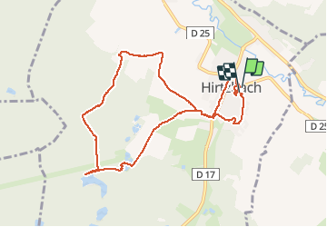

15.1 km | 22 km-effort

User


FREE GPS app for hiking
 SityTrail
IGN / Geographical institutes
SityTrail World
The world is yours!
Trail Walking of 9.3 km to be discovered at Grand Est, Haut-Rhin, Hirtzbach. This trail is proposed by helmut68.
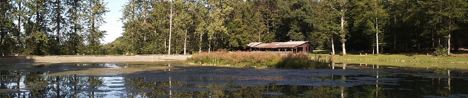
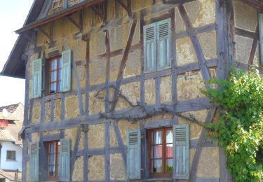
Découvrez un village aux charmes indéniables avec ses ponts fleuris, son château et son parc à l'anglaise, ses maisons à colombages , la chapelle Sainte Afre dans l'Oberdorf ainsi que la chapelle Saint Léger sur le site d'un village disparu.


Walking
Walking

Walking

Mountain bike
Walking

Walking

On foot