


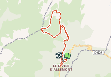

12.8 km | 26 km-effort


User


FREE GPS app for hiking
 SityTrail
IGN / Geographical institutes
SityTrail World
The world is yours!
Trail Walking of 10.9 km to be discovered at Auvergne-Rhône-Alpes, Isère, Allemond. This trail is proposed by rapako.
Une petite boucle en passant par dessous le Pas du Pin
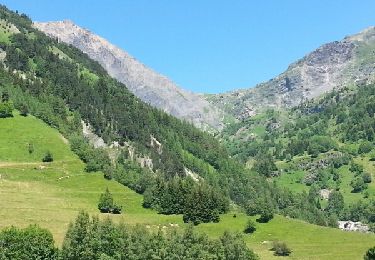
Walking
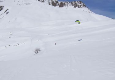
Touring skiing
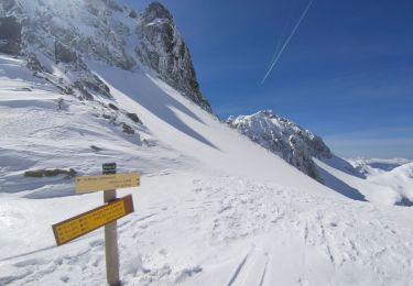
Touring skiing

Touring skiing

Touring skiing
Touring skiing
Touring skiing
Touring skiing

sport