


mont fuji

Maxime Charpentier
User
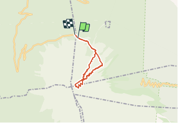

Length
13.4 km

Max alt
3718 m

Uphill gradient
1468 m
Km-Effort
33 km

Min alt
2271 m

Downhill gradient
1463 m
Boucle
No
Creation date :
2019-09-01 14:57:17.327
Updated on :
2019-09-02 02:28:00.795
9h56
Difficulty : Very difficult

FREE GPS app for hiking
 SityTrail
IGN / Geographical institutes
SityTrail World
The world is yours!
About
Trail Walking of 13.4 km to be discovered at Yamanashi Prefecture. This trail is proposed by Maxime Charpentier.
Description
Avec Gabriele Fioni le 1er septembre 2019
Positioning
Country:
Japan
Region :
Yamanashi Prefecture
Department/Province :
富士吉田市
Municipality :
鳴沢村
Location:
Unknown
Start:(Dec)
Start:(UTM)
294272 ; 3918902 (54S) N.
Comments
Trails nearby