Trail Walking Chilliwack - chilliwack1 - Photo
 dath74
dath74

User

© OpenStreetMap contributors
Length
Length
3.2 km
Max alt
Max alt
42 m
Uphill gradient
Uphill gradient
19 m
Km-Effort
Km-Effort  
3.5 km
Min alt
Min alt
17 m
Downhill gradient
Downhill gradient
40 m
Boucle
Boucle
No
Creation date :
2019-09-02 00:35:38.582
Updated on :
2019-09-02 01:16:58.502

(0 Reviews)

Walking
Walking
40m
Difficulty : Very easy

Scan this QR Code to open this trail in the SityTrail application

FREE GPS app for hiking

Logo SityTrail SityTrail

IGN / Geographical institutes

Download SityTrail from the App Store Download SityTrail from Google Play

Logo SityTrail SityTrail World

The world is yours!

Download SityTrail from the App Store Download SityTrail from Google Play Download SityTrail on Huawei AppGallery

About

Trail Walking of 3.2 km to be discovered at British Columbia, Fraser Valley Regional District, Chilliwack. This trail is proposed by dath74.

Elevation profile

Positioning

Country:
Canada
Region :
British Columbia
Department/Province :
Fraser Valley Regional District
Municipality :
Chilliwack
Location:
Unknown
Start:(UTM)
575562 ; 5438880 (10U) N.

Trails nearby

Trail Hybrid bike Chilliwack - vélo chilliwack - Photo
Hybrid bike
dath74

Hybrid bike

Very easy
Chilliwack, British Columbia, Fraser Valley Regional District, Canada
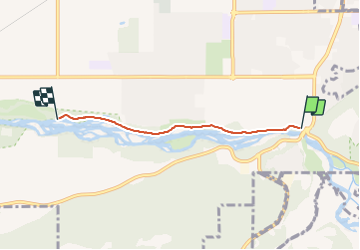
17.9 km | 19.4 km-effort
1h 15min
No
Trail Electric bike Chilliwack - Grey Creek Pass Connector - Photo
Electric bike
xenkod

Electric bike

Very easy
Chilliwack, British Columbia, Fraser Valley Regional District, Canada
70 km | 92 km-effort
Unknown
No


Close
My subscriptions