


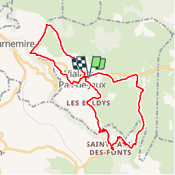


12.3 km | 17.2 km-effort


User


FREE GPS app for hiking
 SityTrail
IGN / Geographical institutes
SityTrail World
The world is yours!
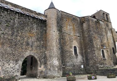
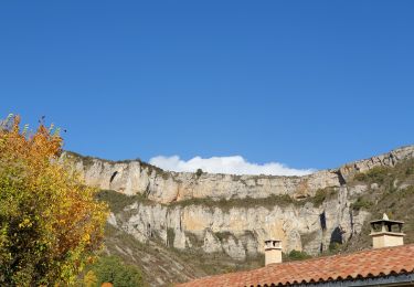
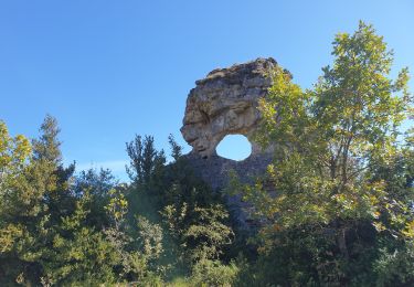
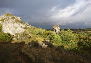
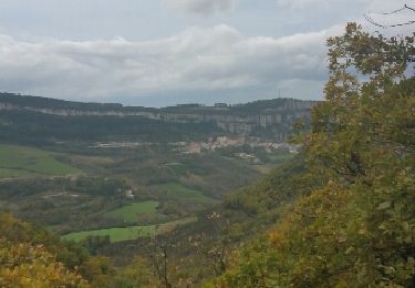
Trail Walking of 22 km to be discovered at Occitania, Aveyron, Viala-du-Pas-de-Jaux. This trail is proposed by genevieve.
Walking
Walking

Walking
Walking
Walking
Walking
Walking
Walking
Other activity