5.1 km | 11.9 km-effort
Torgon haut
jmr28
User
Length
19.8 km
Max alt
1764 m
Uphill gradient
1079 m
Km-Effort
34 km
Min alt
1054 m
Downhill gradient
1079 m
Boucle
Yes
Creation date :
2019-08-03 15:21:36.0
Updated on :
2019-08-31 11:19:14.316
2h35
Difficulty : Unknown
FREE GPS app for hiking
About
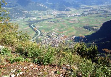
Trail Mountain bike of 19.8 km to be discovered at Valais/Wallis, Monthey, Vionnaz. This trail is proposed by jmr28.
Description
T
Positioning
Country:
Switzerland
Region :
Valais/Wallis
Department/Province :
Monthey
Municipality :
Vionnaz
Location:
Unknown
Start:(Dec)
Start:(UTM)
336619 ; 5131830 (32T) N.
Comments
Trails nearby
Le Linleu 2093 m, depuis Sevan-devant
Walking
Medium
(1)
La Chapelle-d'Abondance,
Auvergne-Rhône-Alpes,
Upper Savoy,
France
3h 0min
Yes
Miex-Lac Tanay (via Prélagine)
On foot
Easy
Vouvry,
Valais/Wallis,
Monthey,
Switzerland
6.3 km | 9.9 km-effort
2h 15min
No
Torgon village - Chalet de Blancsex
On foot
Easy
Vionnaz,
Valais/Wallis,
Monthey,
Switzerland
4.4 km | 8.7 km-effort
1h 58min
No
Torgon village - Dravers
On foot
Easy
Vionnaz,
Valais/Wallis,
Monthey,
Switzerland
4 km | 8.3 km-effort
1h 53min
No
Petite Châtel
Snowshoes
Medium
Châtel,
Auvergne-Rhône-Alpes,
Upper Savoy,
France
5.7 km | 10.6 km-effort
2h 0min
Yes
Lac Tanay
Walking
Medium
Vouvry,
Valais/Wallis,
Monthey,
Switzerland
12.4 km | 22 km-effort
4h 45min
Yes
savalenaz
Other activity
Very easy
La Chapelle-d'Abondance,
Auvergne-Rhône-Alpes,
Upper Savoy,
France
3.2 km | 6.6 km-effort
1h 13min
No
petit chatel
Walking
Medium
Châtel,
Auvergne-Rhône-Alpes,
Upper Savoy,
France
5.3 km | 8.7 km-effort
2h 8min
Yes
le linla
Walking
Medium
La Chapelle-d'Abondance,
Auvergne-Rhône-Alpes,
Upper Savoy,
France
6.9 km | 11.8 km-effort
4h 13min
Yes