7.9 km | 9.5 km-effort
Chemin des croix, PARMAIN
Jean-MarieFaux
User
Length
9.3 km
Max alt
105 m
Uphill gradient
148 m
Km-Effort
11.3 km
Min alt
25 m
Downhill gradient
144 m
Boucle
Yes
Creation date :
2019-08-30 13:37:04.0
Updated on :
2019-08-30 15:58:52.948
2h17
Difficulty : Unknown
FREE GPS app for hiking
About
Trail Walking of 9.3 km to be discovered at Ile-de-France, Val-d'Oise, Parmain. This trail is proposed by Jean-MarieFaux.
Description
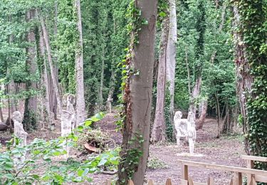
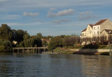
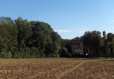
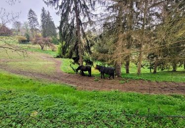
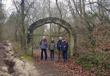
Circuit autour de PARMAIN
Positioning
Country:
France
Region :
Ile-de-France
Department/Province :
Val-d'Oise
Municipality :
Parmain
Location:
Unknown
Start:(Dec)
Start:(UTM)
442117 ; 5439701 (31U) N.
Comments
Trails nearby
L Parmain jean Sarment a Valmondoit
Walking
Very easy
(1)
Parmain,
Ile-de-France,
Val-d'Oise,
France
2h 10min
Yes
Autour de l'Isle Adam
Walking
Difficult
(1)
L'Isle-Adam,
Ile-de-France,
Val-d'Oise,
France
22 km | 26 km-effort
4h 30min
Yes
Vallée de Nesles
Walking
Difficult
(1)
Valmondois,
Ile-de-France,
Val-d'Oise,
France
23 km | 28 km-effort
4h 45min
Yes
Vexin - Villages et vallée du Saucerron De Parmain à
Walking
Medium
Parmain,
Ile-de-France,
Val-d'Oise,
France
27 km | 33 km-effort
5h 51min
No
Le tour du Grand Paris via le GR1 - ETAPE 6 de L'isle Adam à Viarmes
Walking
Medium
L'Isle-Adam,
Ile-de-France,
Val-d'Oise,
France
28 km | 36 km-effort
5h 1min
No
L'Isle-Adam 02 L'Isle Adam
On foot
Very easy
(1)
L'Isle-Adam,
Ile-de-France,
Val-d'Oise,
France
9.4 km | 10.7 km-effort
3h 0min
Yes
Autour de Parmain
Walking
Medium
(1)
Champagne-sur-Oise,
Ile-de-France,
Val-d'Oise,
France
18.9 km | 23 km-effort
4h 0min
No
labeville vallongoujard wmezieres
Walking
Easy
Labbeville,
Ile-de-France,
Val-d'Oise,
France
11.1 km | 13.1 km-effort
3h 8min
Yes
Vaux Chateaude Chambly Ronquerole
Walking
Easy
Champagne-sur-Oise,
Ile-de-France,
Val-d'Oise,
France
10.6 km | 13.1 km-effort
2h 28min
Yes