


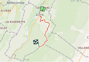

8.4 km | 12.3 km-effort


User


FREE GPS app for hiking
 SityTrail
IGN / Geographical institutes
SityTrail World
The world is yours!
Trail of 6.2 km to be discovered at Auvergne-Rhône-Alpes, Ain, Lélex. This trail is proposed by UDGI54.
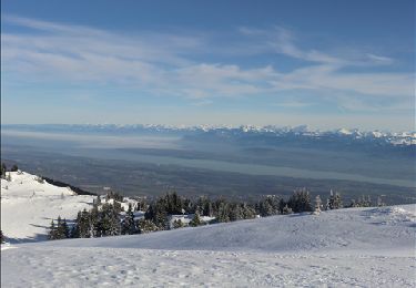
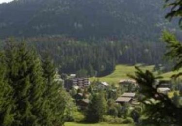
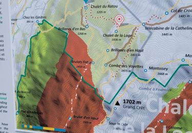
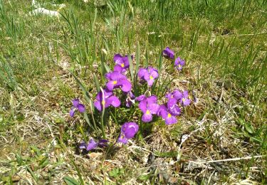
Itinéraire estival et hivernal, très célèbre pour sa fameuse vue époustouflante sur les Alpes, le Mont Blanc et le Lac Léman. 2 possibilités : randonnée très difficile au départ du village de Lélex avec 3h30 de montée ou randonnée difficile de 2h en prenant la télécabine. Après une ascension soit à travers la forêt soit grâce à la télécabine, l'environnement change et traverse alternativement combes et forêts à proximité du refuge La Loge. Un passage sous le télésiège des Loges, la traversée de la piste rouge de ski alpin « Les Asters » puis entrée dans la zone de quiétude hivernale de la faune sauvage. Arrivée sur les crêtes, à découvert, la végétation se raréfie, la vue sur le Lac Léman, les Alpes et le Mont Blanc apparaît, c’est un point d’intérêt remarquable ! Passage par le Grand Crêt. Le Crêt de la Neige n’est plus très loin ! C’est le point culminant du massif du Jura, à 1720m ! Retour : par le même sentier. Variante possible pour le retour sans repasser par le refuge La Loge.
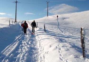
Snowshoes
Snowshoes
Mountain bike
Walking
Walking

Walking
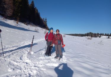
Snowshoes
Walking
Walking