


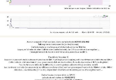
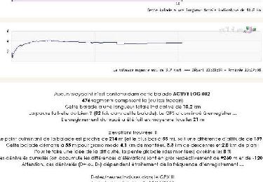
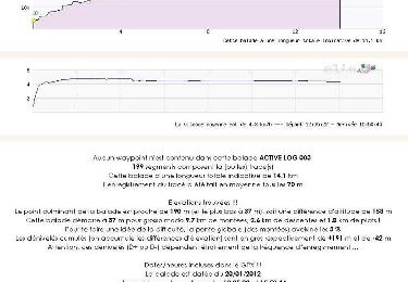
11.1 km | 14.1 km-effort


User


FREE GPS app for hiking
 SityTrail
IGN / Geographical institutes
SityTrail World
The world is yours!
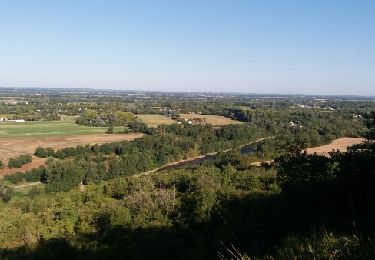
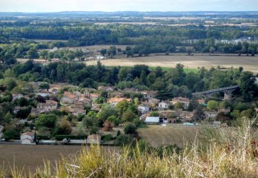
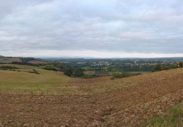
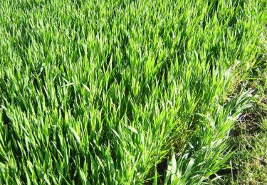
Trail Mountain bike of 50 km to be discovered at Occitania, Haute-Garonne, Longages. This trail is proposed by ra2000.
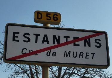
retour par le train à longages

Walking
Walking
Walking
Walking
Walking
Walking
Walking

Running
Walking