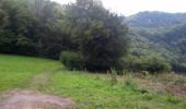

Nans-sous-Sainte-Anne

albert39
User

Length
13.8 km

Max alt
694 m

Uphill gradient
500 m

Km-Effort
20 km

Min alt
367 m

Downhill gradient
499 m
Boucle
Yes
Creation date :
2014-12-10 00:00:00.0
Updated on :
2014-12-10 00:00:00.0
3h59
Difficulty : Difficult

FREE GPS app for hiking
About
Trail Walking of 13.8 km to be discovered at Bourgogne-Franche-Comté, Doubs, Nans-sous-Sainte-Anne. This trail is proposed by albert39.
Description
Départ parking le Gyps, belvédère du Vieux Château, Ste-Anne, le Pont du Diable et Crouzet-Migette, retour par le GR 590. Sortie difficile avec du pourcentage !
A refaire en incluant Fonts Lison et les trois sites, sur une journée ?
Points of interest
Positioning
Country:
France
Region :
Bourgogne-Franche-Comté
Department/Province :
Doubs
Municipality :
Nans-sous-Sainte-Anne
Location:
Unknown
Start:(Dec)
Start:(UTM)
728013 ; 5206453 (31T) N.
Comments
Trails nearby
Eternoz, lison


Walking
Easy
(1)
Éternoz,
Bourgogne-Franche-Comté,
Doubs,
France

15 km | 19.2 km-effort
2h 13min
Yes

Les Gorges du Lison - Eternoz


Walking
Medium
(2)
Éternoz,
Bourgogne-Franche-Comté,
Doubs,
France

10.9 km | 14.4 km-effort
3h 0min
Yes
eternoz belvédère chandelier


Walking
Medium
(2)
Éternoz,
Bourgogne-Franche-Comté,
Doubs,
France

15.9 km | 20 km-effort
5h 13min
Yes

Boucle du Lison


Walking
Medium
Nans-sous-Sainte-Anne,
Bourgogne-Franche-Comté,
Doubs,
France

6.2 km | 10.1 km-effort
2h 10min
Yes
Nans sous st Anne "pont du diable"


Walking
Difficult
(1)
Nans-sous-Sainte-Anne,
Bourgogne-Franche-Comté,
Doubs,
France

16.1 km | 25 km-effort
2h 59min
Yes

Nans sous ste Anne, Lizon


Walking
Very difficult
Éternoz,
Bourgogne-Franche-Comté,
Doubs,
France

24 km | 37 km-effort
6h 54min
Yes
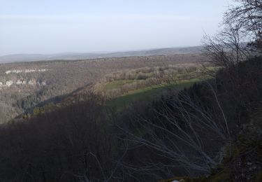
éternoz la re-belle


Walking
Difficult
Éternoz,
Bourgogne-Franche-Comté,
Doubs,
France

36 km | 49 km-effort
5h 46min
Yes
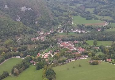
Nans st Anne, belvédères


Walking
Difficult
Nans-sous-Sainte-Anne,
Bourgogne-Franche-Comté,
Doubs,
France

11.8 km | 17.3 km-effort
1h 56min
Yes
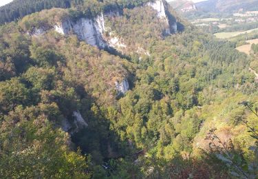
ruines du château sainte anne


Walking
Medium
(1)
Nans-sous-Sainte-Anne,
Bourgogne-Franche-Comté,
Doubs,
France

11.1 km | 19.2 km-effort
4h 14min
Yes


 SityTrail


