


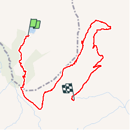

13.6 km | 26 km-effort


User


FREE GPS app for hiking
 SityTrail
IGN / Geographical institutes
SityTrail World
The world is yours!
Trail Walking of 5 km to be discovered at Auvergne-Rhône-Alpes, Savoy, Beaufort. This trail is proposed by algecko.
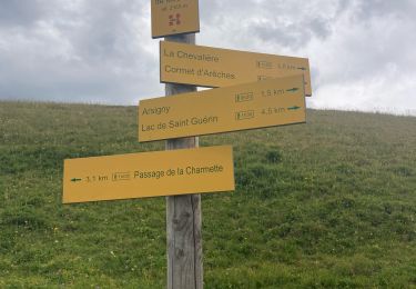
Parking lac des Fées, croix du berger, refuge de la Coire (2 dortoirs : 6 p et 8 p)

Walking

Walking

Walking

Walking

Walking

Walking
Walking
Walking
Walking