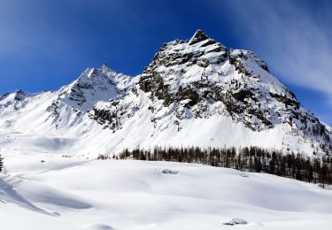
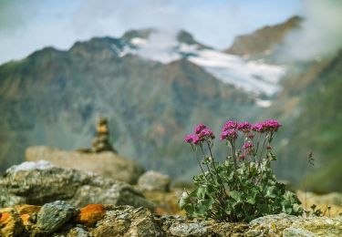
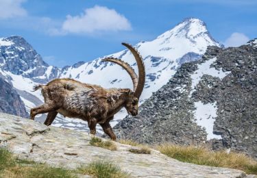
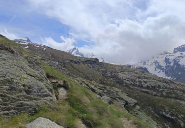
17.2 km | 36 km-effort
Refuge de Savoie
d.rochas
User
Length
16.6 km
Max alt
2619 m
Uphill gradient
689 m
Km-Effort
26 km
Min alt
1960 m
Downhill gradient
691 m
Boucle
Yes
Creation date :
2019-08-26 07:15:11.732
Updated on :
2019-08-26 16:20:15.461
8h04
Difficulty : Medium
FREE GPS app for hiking
About
Trail Walking of 16.6 km to be discovered at Aosta Valley, Unknown, Valsavarenche. This trail is proposed by d.rochas.
Description
Aller Retour sur même tracé
Positioning
Country:
Italy
Region :
Aosta Valley
Department/Province :
Unknown
Municipality :
Valsavarenche
Location:
Unknown
Start:(Dec)
Start:(UTM)
359493 ; 5042805 (32T) N.
Comments
Trails nearby
Alta Via n. 2 della Valle d'Aosta - Tappa 8
On foot
Difficult
Valsavarenche,
Aosta Valley,
Unknown,
Italy
8h 15min
No
(SI F01) Rifugio Savoia - Rhêmes-Notre-Dame
On foot
Difficult
Valsavarenche,
Aosta Valley,
Unknown,
Italy
21 km | 35 km-effort
8h 3min
No
valsavarenche le pont
Walking
Medium
Valsavarenche,
Aosta Valley,
Unknown,
Italy
6.2 km | 10.9 km-effort
4h 44min
Yes