


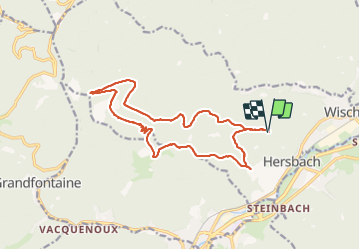

23 km | 35 km-effort


User GUIDE


FREE GPS app for hiking
 SityTrail
IGN / Geographical institutes
SityTrail World
The world is yours!
Trail Horseback riding of 15.5 km to be discovered at Grand Est, Bas-Rhin, Wisches. This trail is proposed by holtzv.
Ne pas prendre le sentier triangle jaune partant du Colbery et allant au pylône du Kohlberg à cheval (trop serré).
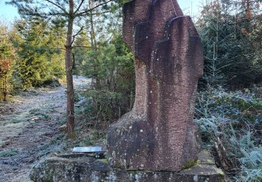
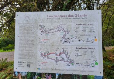
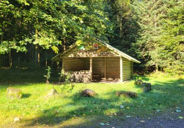
Passage par le Colbery, le sentier des sculptures InSitu des Géants, l'abri du Kohlberg et l'abri du sanglier


Walking

Walking
Walking
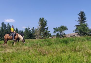
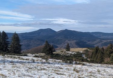
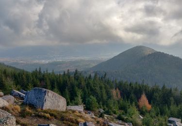
Horseback riding
Walking
Walking
Walking
Walking
Walking