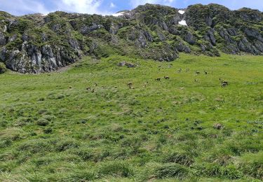
5.1 km | 11.9 km-effort
chapelle / chatel
lama67170
User
Length
8.7 km
Max alt
1134 m
Uphill gradient
217 m
Km-Effort
11.1 km
Min alt
996 m
Downhill gradient
85 m
Boucle
No
Creation date :
2019-08-23 11:20:20.796
Updated on :
2019-08-23 14:06:35.633
2h30
Difficulty : Easy
FREE GPS app for hiking
About
Trail Walking of 8.7 km to be discovered at Auvergne-Rhône-Alpes, Upper Savoy, La Chapelle-d'Abondance. This trail is proposed by lama67170.
Description
retour depuis la chapelle d'abondance à Chatel
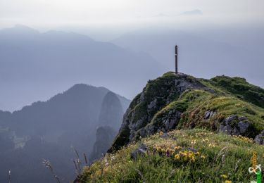
Positioning
Country:
France
Region :
Auvergne-Rhône-Alpes
Department/Province :
Upper Savoy
Municipality :
La Chapelle-d'Abondance
Location:
Unknown
Start:(Dec)
Start:(UTM)
329084 ; 5129178 (32T) N.
Comments
Trails nearby
Le Linleu 2093 m, depuis Sevan-devant
Walking
Medium
(1)
La Chapelle-d'Abondance,
Auvergne-Rhône-Alpes,
Upper Savoy,
France
3h 0min
Yes
Le Mont de Grange, 2432m
Walking
Difficult
(2)
Abondance,
Auvergne-Rhône-Alpes,
Upper Savoy,
France
10.9 km | 25 km-effort
7h 0min
Yes
Les Cornettes de Bise par le sentier de Saix Rouquin
Walking
Difficult
(1)
La Chapelle-d'Abondance,
Auvergne-Rhône-Alpes,
Upper Savoy,
France
10 km | 25 km-effort
6h 30min
Yes
Cascade boucle 2
Walking
Difficult
(1)
La Chapelle-d'Abondance,
Auvergne-Rhône-Alpes,
Upper Savoy,
France
10.1 km | 14.9 km-effort
3h 23min
Yes
Petite Châtel
Snowshoes
Medium
Châtel,
Auvergne-Rhône-Alpes,
Upper Savoy,
France
5.7 km | 10.6 km-effort
2h 0min
Yes
Randonnée entre la France et la suisse
Snowshoes
Easy
Châtel,
Auvergne-Rhône-Alpes,
Upper Savoy,
France
5.8 km | 8.5 km-effort
2h 3min
Yes
lac darbon
Walking
Easy
(1)
La Chapelle-d'Abondance,
Auvergne-Rhône-Alpes,
Upper Savoy,
France
5.9 km | 13.7 km-effort
3h 54min
No
Lac du Dacron
Walking
Medium
La Chapelle-d'Abondance,
Auvergne-Rhône-Alpes,
Upper Savoy,
France
8 km | 16.1 km-effort
6h 22min
Yes
Tour du Mont Chauffé
Walking
Medium
Vacheresse,
Auvergne-Rhône-Alpes,
Upper Savoy,
France
12.7 km | 23 km-effort
5h 12min
Yes