


20 août 2019

jerome.martel
User

Length
12.7 km
Boucle
No
Creation date :
2019-08-20 12:32:19.3
Updated on :
2019-08-22 13:05:44.969
7h02
Difficulty : Very easy

FREE GPS app for hiking
 SityTrail
IGN / Geographical institutes
SityTrail World
The world is yours!
About
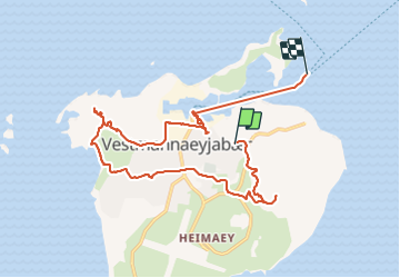
Trail Walking of 12.7 km to be discovered at Iceland. This trail is proposed by jerome.martel.
Positioning
Country:
Iceland
Region :
Sud
Department/Province :
Îles Vestmann
Municipality :
Pósturinn, Vestmannaeyjum
Location:
Unknown
Start:(Dec)
Start:(UTM)
536893 ; 7034844 (27V) N.
Comments
Trails nearby