Trail Walking Lac-Supérieur - Wikiloc - La roche et la coulée - parc national du mont tremblant - Photo

Wikiloc - La roche et la coulée - parc national du mont tremblant

 Alizée.pee
Alizée.pee

User GUIDE

© OpenStreetMap contributors
Length
Length
8.4 km
Max alt
Max alt
603 m
Uphill gradient
Uphill gradient
354 m
Km-Effort
Km-Effort  
13.1 km
Min alt
Min alt
340 m
Downhill gradient
Downhill gradient
351 m
Boucle
Boucle
Yes
Creation date :
2019-08-22 12:47:59.536
Updated on :
2019-08-22 12:49:46.557

(0 Reviews)

Walking
Walking
2h42
Difficulty : Medium

Scan this QR Code to open this trail in the SityTrail application

FREE GPS app for hiking

Logo SityTrail SityTrail

IGN / Geographical institutes

Download SityTrail from the App Store Download SityTrail from Google Play

Logo SityTrail SityTrail World

The world is yours!

Download SityTrail from the App Store Download SityTrail from Google Play Download SityTrail on Huawei AppGallery

About

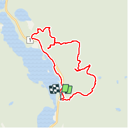
Trail Walking of 8.4 km to be discovered at Quebec, Les Laurentides, Lac-Supérieur. This trail is proposed by Alizée.pee.

Description

Belle randonnée avec de nombreux points de vue. C'est l'un des plus grands parcs du Québec. A un moment donné, le belvédère laisse place à de magnifiques paysages.

Elevation profile

Positioning

Country:
Canada
Region :
Quebec
Department/Province :
Les Laurentides
Municipality :
Lac-Supérieur
Location:
Unknown
Start:(UTM)
538558 ; 5130810 (18T) N.

Trails nearby

Trail Canoe - kayak Lac-Supérieur - Rivière du Diable - Photo
Canoe - kayak
DaVinci

Canoe - kayak

Medium
Lac-Supérieur, Quebec, Les Laurentides, Canada
11.5 km | 12.4 km-effort
1h 55min
No


Close
My subscriptions