

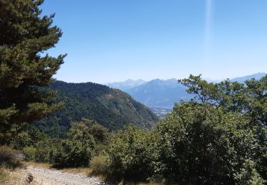
Les Parias et la Pousterle par le col de Chorges

David25400
User GUIDE

Length
15.4 km

Max alt
2499 m

Uphill gradient
1266 m

Km-Effort
32 km

Min alt
1463 m

Downhill gradient
1264 m
Boucle
Yes
Creation date :
2019-08-19 04:36:23.77
Updated on :
2019-08-19 11:17:29.625
6h18
Difficulty : Medium

FREE GPS app for hiking
About
Trail Walking of 15.4 km to be discovered at Provence-Alpes-Côte d'Azur, Hautes-Alpes, Chorges. This trail is proposed by David25400.
Description
Chemin de crête mal indiqué mais bien praticable
Descente de la Pousterle dangereuse
Chevreuil, chamois, marmottes, aigle royal
Positioning
Country:
France
Region :
Provence-Alpes-Côte d'Azur
Department/Province :
Hautes-Alpes
Municipality :
Chorges
Location:
Unknown
Start:(Dec)
Start:(UTM)
283925 ; 4939533 (32T) N.
Comments
Trails nearby
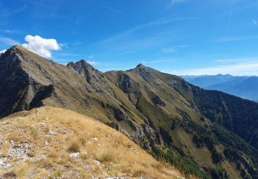
L'arche et L'aiguille 01/09/23


Walking
Very difficult
Ancelle,
Provence-Alpes-Côte d'Azur,
Hautes-Alpes,
France

8.6 km | 19.6 km-effort
4h 27min
Yes
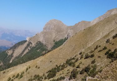
Piolit


Walking
Difficult
Ancelle,
Provence-Alpes-Côte d'Azur,
Hautes-Alpes,
France

8.9 km | 19.4 km-effort
4h 24min
Yes
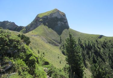
Arche


Walking
Medium
Ancelle,
Provence-Alpes-Côte d'Azur,
Hautes-Alpes,
France

6.9 km | 16 km-effort
3h 37min
No
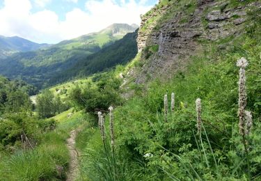
Embrunais - Réallon Les Gourniers Chapelle St-Marcellin - 5.6km 300m 2h00 - 2...


Walking
Medium
Réallon,
Provence-Alpes-Côte d'Azur,
Hautes-Alpes,
France

5.5 km | 9.4 km-effort
2h 35min
Yes
visorando-trou-de-pancrace-serre-du-mouton-et-griffes-du-lion-rose-de-salados


Walking
Very difficult
Prunières,
Provence-Alpes-Côte d'Azur,
Hautes-Alpes,
France

15.1 km | 28 km-effort
6h 25min
Yes
Col de la Coupa


Walking
Medium
Réallon,
Provence-Alpes-Côte d'Azur,
Hautes-Alpes,
France

11.4 km | 23 km-effort
4h 20min
Yes
Le pomeyret avec Ziton


Horseback riding
Easy
Prunières,
Provence-Alpes-Côte d'Azur,
Hautes-Alpes,
France

6.6 km | 10 km-effort
3h 3min
Yes
au dessus de Chorges : Naume Raze . les Drayes . parking des Gardes . Forest ...


Walking
Medium
Chorges,
Provence-Alpes-Côte d'Azur,
Hautes-Alpes,
France

9.3 km | 14.9 km-effort
4h 13min
Yes
crêtes d´Auréous : col de la Moissière . Chatégré . St Philippe . lac de Faudon


Walking
Easy
Ancelle,
Provence-Alpes-Côte d'Azur,
Hautes-Alpes,
France

6.9 km | 9.8 km-effort
2h 39min
Yes


 SityTrail


