


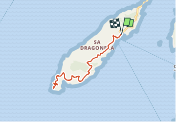

8.5 km | 13 km-effort


User


FREE GPS app for hiking
 SityTrail
IGN / Geographical institutes
SityTrail World
The world is yours!
Trail Walking of 9.1 km to be discovered at Balearic Islands, Unknown, Andratx. This trail is proposed by fab0202.
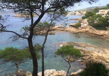
une belle randonnée sur l île de dragonera avec de beaux panoramas sur la mer, saint rom et port d andraxt.


Walking