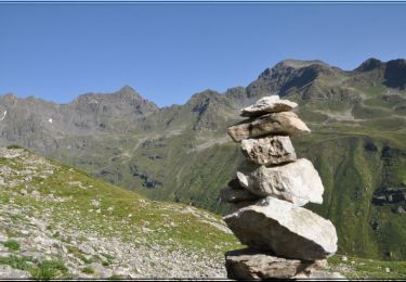
6.5 km | 15.7 km-effort
lacs
richardlelot
User
Length
10.6 km
Max alt
2039 m
Uphill gradient
702 m
Km-Effort
20 km
Min alt
1436 m
Downhill gradient
704 m
Boucle
Yes
Creation date :
2019-08-18 07:58:29.33
Updated on :
2019-08-18 16:39:56.877
6h48
Difficulty : Medium
FREE GPS app for hiking
About
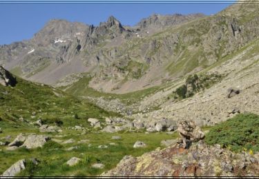
Trail Walking of 10.6 km to be discovered at Occitania, Hautespyrenees, Gavarnie-Gèdre. This trail is proposed by richardlelot.
Positioning
Country:
France
Region :
Occitania
Department/Province :
Hautespyrenees
Municipality :
Gavarnie-Gèdre
Location:
Gèdre
Start:(Dec)
Start:(UTM)
743936 ; 4742643 (30T) N.
Comments
Trails nearby
Lacs de Cestrède et Antarrouyes
Walking
Very difficult
(1)
Gavarnie-Gèdre,
Occitania,
Hautespyrenees,
France
4.4 km | 10.7 km-effort
3h 0min
No
Col le Pourteillou
On foot
Easy
Gavarnie-Gèdre,
Occitania,
Hautespyrenees,
France
3.7 km | 9.5 km-effort
2h 9min
No
Vallée de la Canau ( Gavarnie)
Walking
Easy
Gavarnie-Gèdre,
Occitania,
Hautespyrenees,
France
9.9 km | 15.8 km-effort
5h 9min
Yes
Col du Pourteillou - Gèdre
Snowshoes
Difficult
Gavarnie-Gèdre,
Occitania,
Hautespyrenees,
France
11.7 km | 23 km-effort
6h 0min
Yes
Blanc de Sécugnat
Walking
Very difficult
Gavarnie-Gèdre,
Occitania,
Hautespyrenees,
France
10.6 km | 24 km-effort
5h 0min
Yes
Gedre pont de Peyrenet
Walking
Easy
Gavarnie-Gèdre,
Occitania,
Hautespyrenees,
France
6.9 km | 11.4 km-effort
2h 8min
Yes
cirque de gavarnie par le plateau de Bellevue depuis le camping le pain de s...
Walking
Medium
Gavarnie-Gèdre,
Occitania,
Hautespyrenees,
France
21 km | 0 m-effort
7h 10min
No
Col de Ripeyre
Walking
Difficult
Gavarnie-Gèdre,
Occitania,
Hautespyrenees,
France
12.3 km | 24 km-effort
8h 45min
Yes