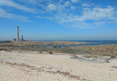
9.7 km | 12.4 km-effort
quettehou reel
yoyodutheil
User
Length
6.6 km
Max alt
90 m
Uphill gradient
77 m
Km-Effort
7.8 km
Min alt
12 m
Downhill gradient
127 m
Boucle
No
Creation date :
2019-08-18 13:22:30.266
Updated on :
2019-08-18 15:34:35.641
1h39
Difficulty : Very easy
FREE GPS app for hiking
About
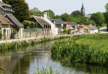
Trail Walking of 6.6 km to be discovered at Normandy, Manche, Quettehou. This trail is proposed by yoyodutheil.
Positioning
Country:
France
Region :
Normandy
Department/Province :
Manche
Municipality :
Quettehou
Location:
Quettehou
Start:(Dec)
Start:(UTM)
621327 ; 5495452 (30U) N.
Comments
Trails nearby
Morsalines ( Boucle )
Walking
Easy
(1)
Quettehou,
Normandy,
Manche,
France
4.3 km | 5.1 km-effort
1h 15min
Yes
St Vaast la Hougue tourisme
Walking
Very easy
Saint-Vaast-la-Hougue,
Normandy,
Manche,
France
8.3 km | 8.6 km-effort
2h 0min
Yes
Le long de la vallée de la Sairre
Walking
Medium
Le Vast,
Normandy,
Manche,
France
10 km | 12.6 km-effort
2h 40min
Yes
Boucle Saint Vast - Barfleur
Electric bike
Easy
Saint-Vaast-la-Hougue,
Normandy,
Manche,
France
33 km | 35 km-effort
2h 18min
Yes
Raid VTT Tatihou - Le Mont St Michel
Mountain bike
Difficult
Saint-Vaast-la-Hougue,
Normandy,
Manche,
France
313 km | 369 km-effort
0h 0min
No
29 mai 2021
Walking
Very easy
Saint-Vaast-la-Hougue,
Normandy,
Manche,
France
19.8 km | 21 km-effort
5h 53min
No
Les balcons du Val de Saire - Quettehou
Mountain bike
Medium
Quettehou,
Normandy,
Manche,
France
27 km | 34 km-effort
4h 0min
Yes
Anneville en saire
Walking
Medium
Anneville-en-Saire,
Normandy,
Manche,
France
7.6 km | 8.7 km-effort
1h 59min
Yes