


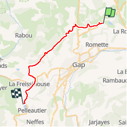

9.7 km | 16.2 km-effort


User


FREE GPS app for hiking
 SityTrail
IGN / Geographical institutes
SityTrail World
The world is yours!
Trail Mountain bike of 18.1 km to be discovered at Provence-Alpes-Côte d'Azur, Hautes-Alpes, Gap. This trail is proposed by chevallier.
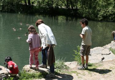
Circuit en aller retour. Possibilité de baignade et restauration au lac de Pelleautier.
Walking

Walking

Walking

Walking

Walking

Walking
Walking
Walking

Walking