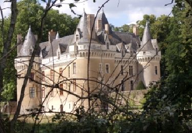
33 km | 35 km-effort
2019-08-16 jour 5
jcrespel
User
Length
9 km
Max alt
91 m
Uphill gradient
86 m
Km-Effort
10.2 km
Min alt
39 m
Downhill gradient
90 m
Boucle
No
Creation date :
2019-08-16 12:16:00.0
Updated on :
2019-08-18 11:38:02.943
2h45
Difficulty : Medium
FREE GPS app for hiking
About
Trail Walking of 9 km to be discovered at Pays de la Loire, Sarthe, Thorée-les-Pins. This trail is proposed by jcrespel.
Positioning
Country:
France
Region :
Pays de la Loire
Department/Province :
Sarthe
Municipality :
Thorée-les-Pins
Location:
Unknown
Start:(Dec)
Start:(UTM)
275451 ; 5282819 (31T) N.
Comments
Trails nearby
La Flèche, Luché pringé
Bicycle tourism
Easy
La Flèche,
Pays de la Loire,
Sarthe,
France
2h 15min
No
Luché Pringé 72
On foot
Very easy
Luché-Pringé,
Pays de la Loire,
Sarthe,
France
9.1 km | 9.9 km-effort
Unknown
Yes
Alex Cedric
Mountain bike
Easy
La Flèche,
Pays de la Loire,
Sarthe,
France
32 km | 37 km-effort
1h 55min
Yes
Bruno Manu Cedric
Mountain bike
Medium
La Flèche,
Pays de la Loire,
Sarthe,
France
33 km | 40 km-effort
2h 21min
No
lac de la monnerie avec les bords du loir
Walking
Very easy
La Flèche,
Pays de la Loire,
Sarthe,
France
4.7 km | 5 km-effort
1h 8min
Yes
tour du lac de la monnerie
Walking
Very easy
La Flèche,
Pays de la Loire,
Sarthe,
France
3.7 km | 3.9 km-effort
53min
Yes
Chemin du bord de Loir vers le château de Gallerande et Pringé
Walking
Medium
Luché-Pringé,
Pays de la Loire,
Sarthe,
France
10.4 km | 11.7 km-effort
2h 39min
Yes
Tour des lacs et bord du Loir
Walking
Medium
La Flèche,
Pays de la Loire,
Sarthe,
France
6.3 km | 6.7 km-effort
1h 31min
Yes
bordduloiretgallerande
Mountain bike
Easy
Luché-Pringé,
Pays de la Loire,
Sarthe,
France
10.6 km | 12.2 km-effort
50min
Yes