


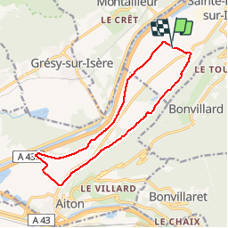

11.3 km | 25 km-effort


User


FREE GPS app for hiking
 SityTrail
IGN / Geographical institutes
SityTrail World
The world is yours!
Trail Horseback riding of 14.1 km to be discovered at Auvergne-Rhône-Alpes, Savoy, Sainte-Hélène-sur-Isère. This trail is proposed by xhakon.
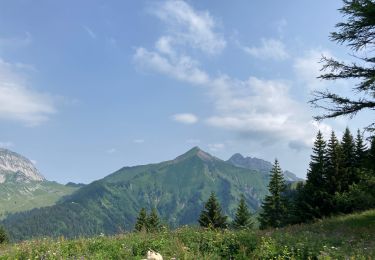
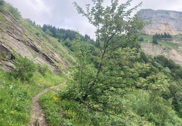
une belle balade flanc de montagne à l'ombre d'un côté, bord de rivière de l'autre, avec du super chemin et très peu de route.

Walking

Walking
Walking
Walking
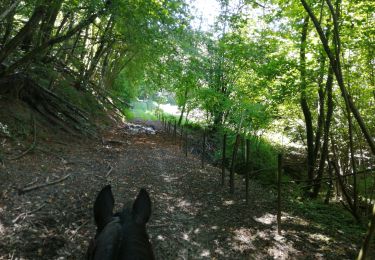
Horseback riding

Equestrian
Walking

Walking

Walking
une valeur sûre !