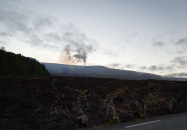
3.9 km | 6 km-effort
rando coulée éruption 16 08 19
margouillat
User
Length
3.8 km
Max alt
713 m
Uphill gradient
623 m
Km-Effort
10.1 km
Min alt
101 m
Downhill gradient
19 m
Boucle
No
Creation date :
2019-08-16 09:19:29.021
Updated on :
2019-08-16 11:12:38.231
1h51
Difficulty : Medium
FREE GPS app for hiking
About
Trail Walking of 3.8 km to be discovered at Réunion, Unknown, Saint-Philippe. This trail is proposed by margouillat.
Description
piton du tremblet
Positioning
Country:
France
Region :
Réunion
Department/Province :
Unknown
Municipality :
Saint-Philippe
Location:
Unknown
Start:(Dec)
Start:(UTM)
375204 ; 7645404 (40K) S.
Comments
Trails nearby
retour rando coulée éruption 16 08 19
Walking
Easy
Saint-Philippe,
Réunion,
Unknown,
France
1h 46min
No
Route forestière takamaka et descente vers la pointe de la table
Walking
Medium
Saint-Philippe,
Réunion,
Unknown,
France
11.9 km | 16.7 km-effort
3h 37min
Yes
tanaka
Other activity
Very easy
Saint-Philippe,
Réunion,
Unknown,
France
4.3 km | 13.6 km-effort
2h 0min
No
2024-10-12_17h09m57_Randopitons Itineraire #1433 - Tour Takamaka Rf Takamaka ...
sport
Very easy
(1)
Saint-Philippe,
Réunion,
Unknown,
France
11.8 km | 16.6 km-effort
Unknown
Yes